Pacific Crest Trail - Day 160 - Eagle Creek to Cascade Locks
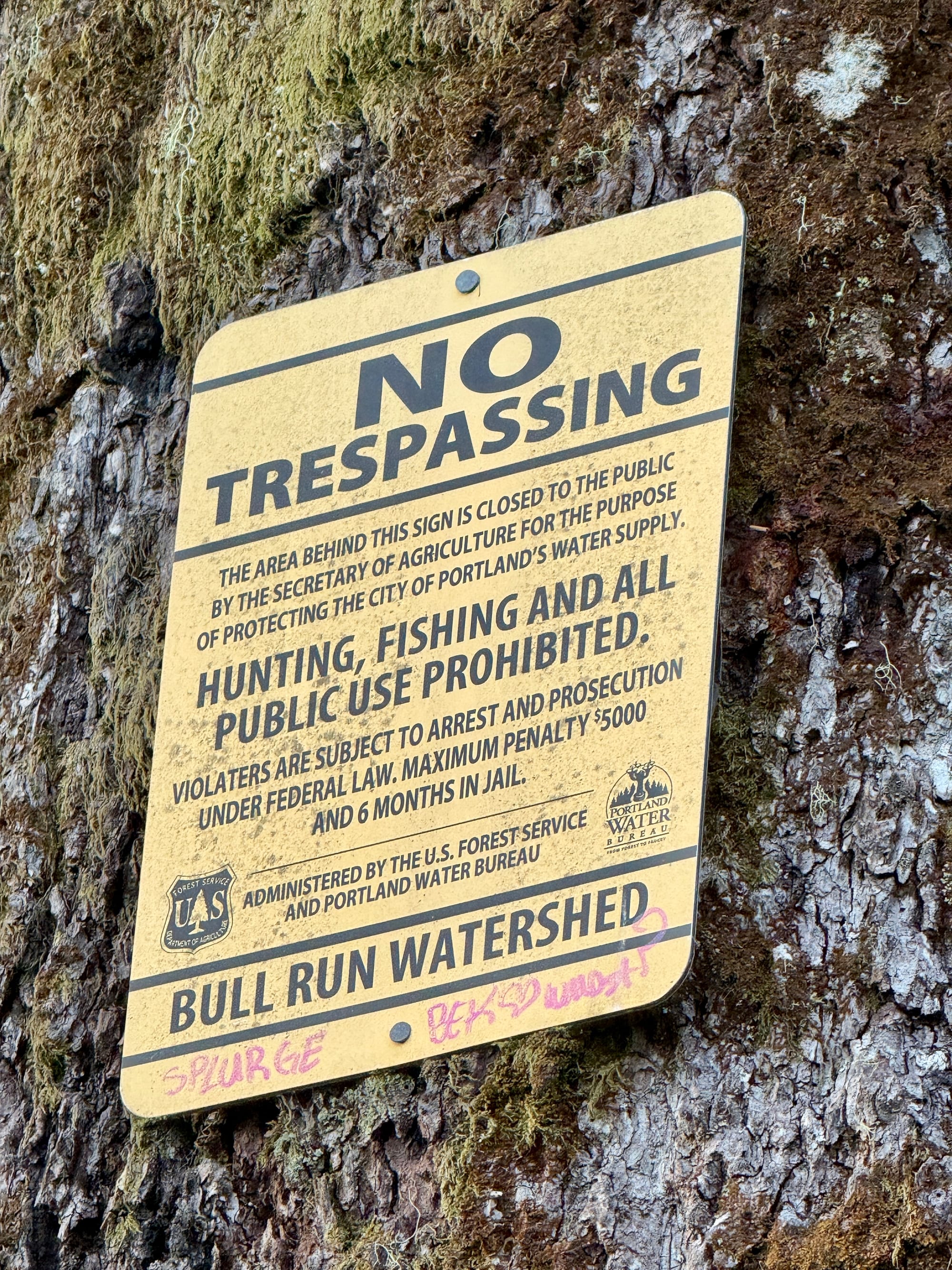
It seems like the watersheds for cities are the most protected / restricted areas. This section was posted heavily with these signs prohibiting any public use of the watershed.
The signs seem like an de-facto acknowledgment that human activity is detrimental to the preservation of clean water, which I would inherently agree with. It would follow that ranching and agriculture should be restricted in watersheds destined for public consumption, but I’m sure that simple statement would be enough to get shot in at least a dozen states.
No thanks, guys, just passing through.
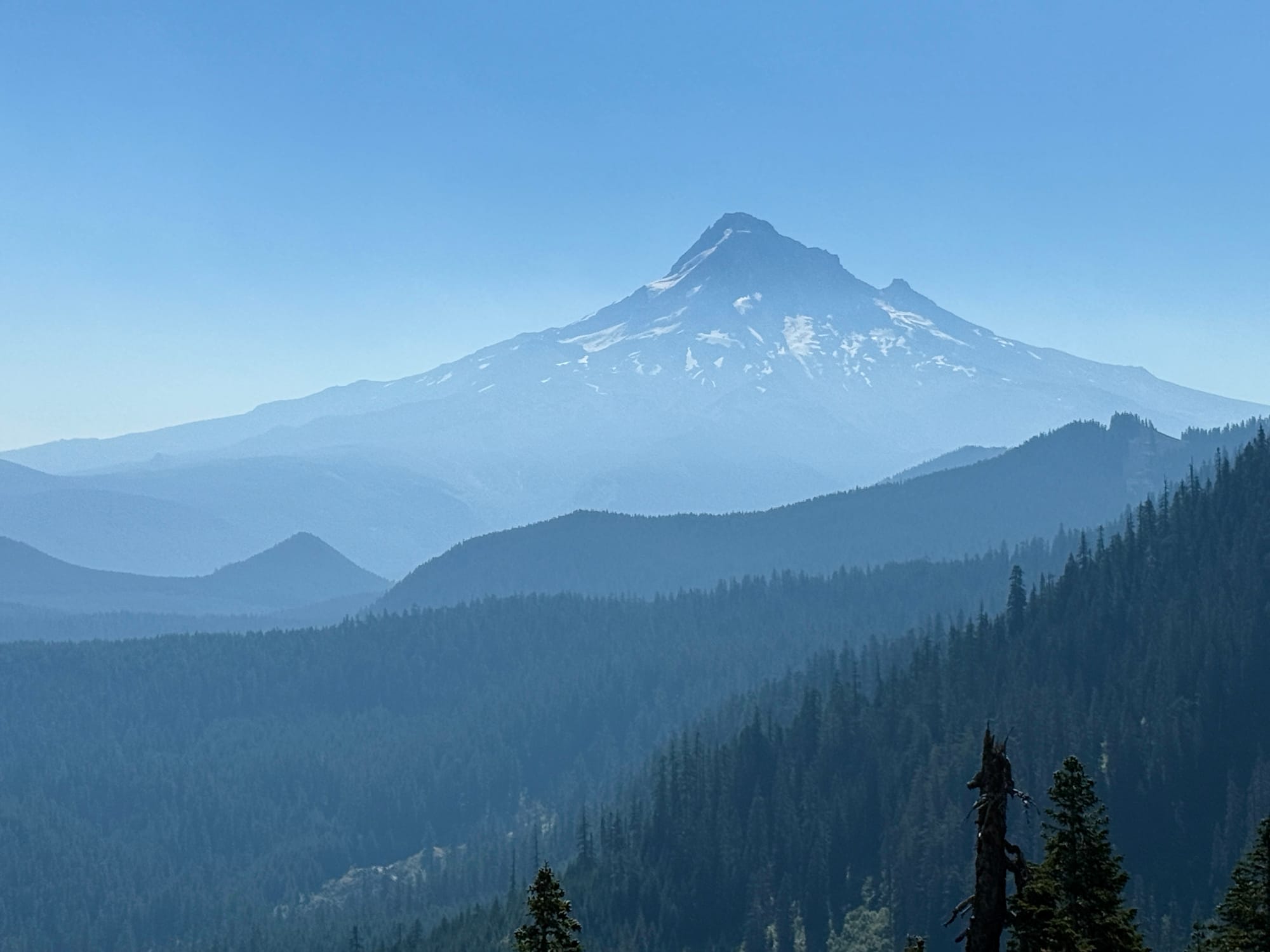
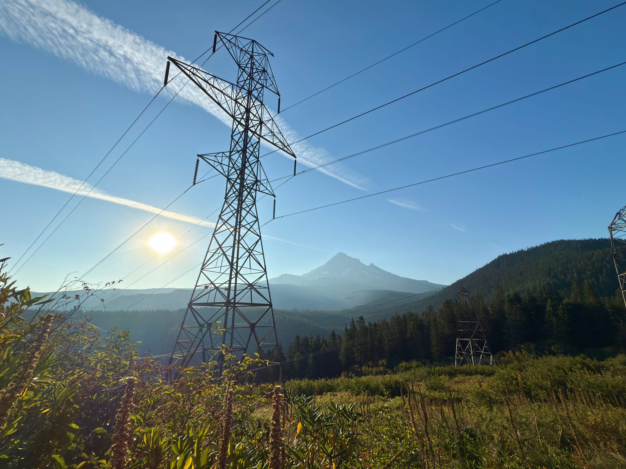
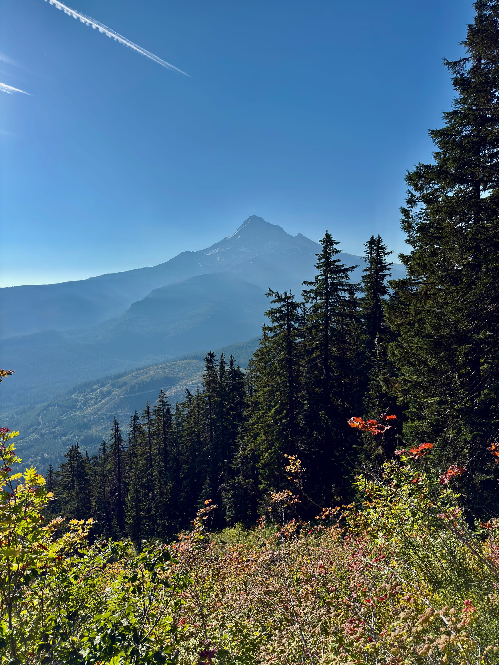
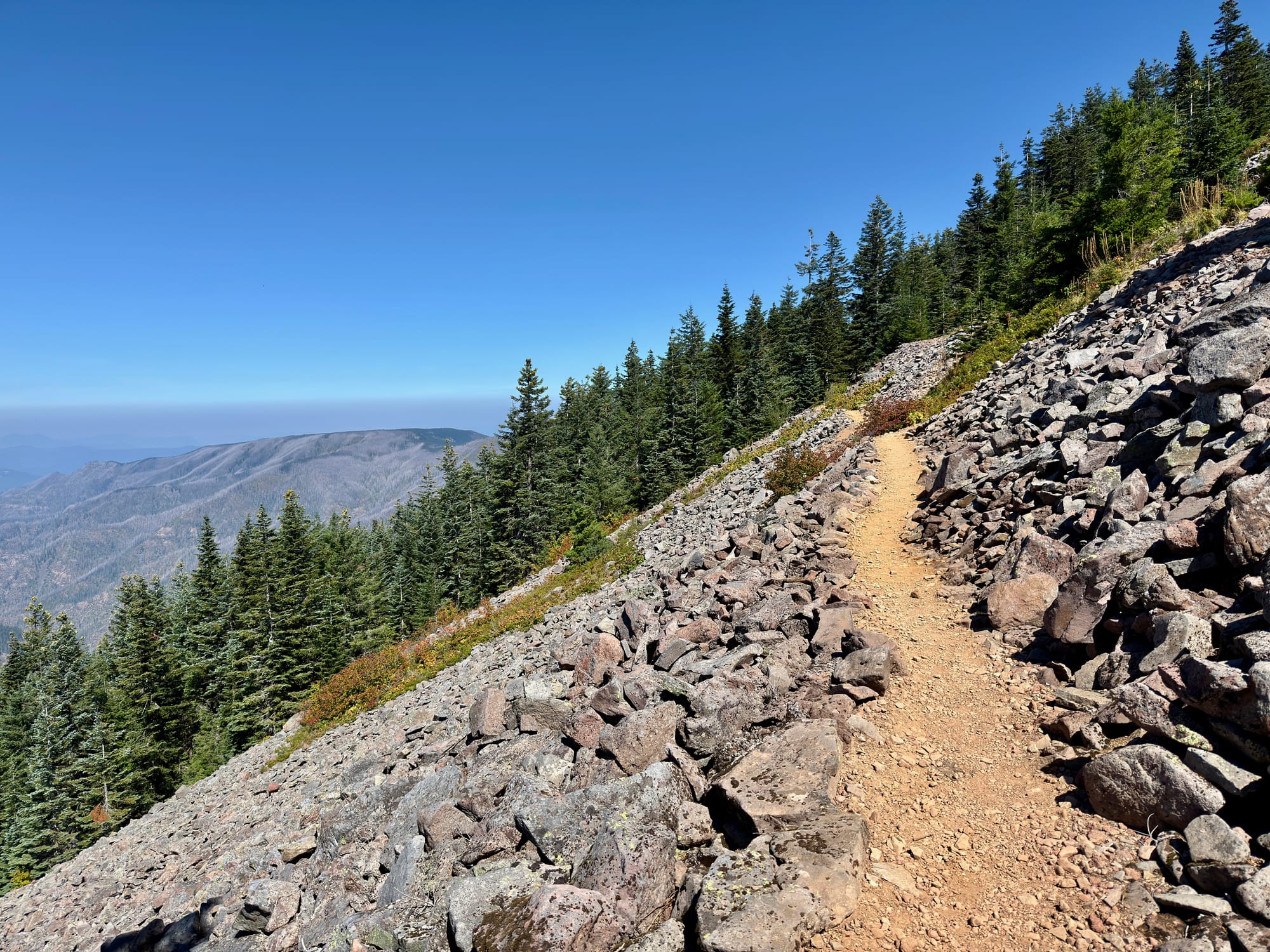
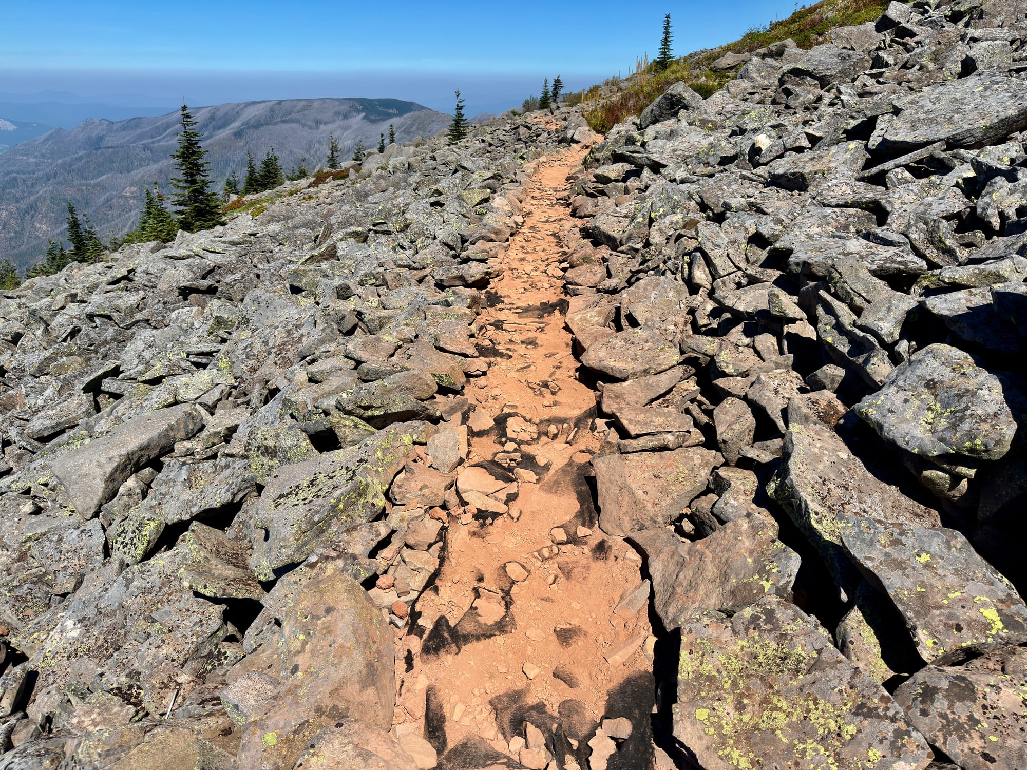
Mt. Hood is impressively huge.
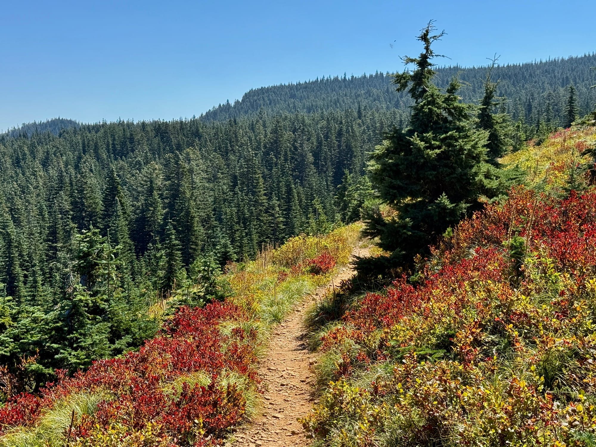
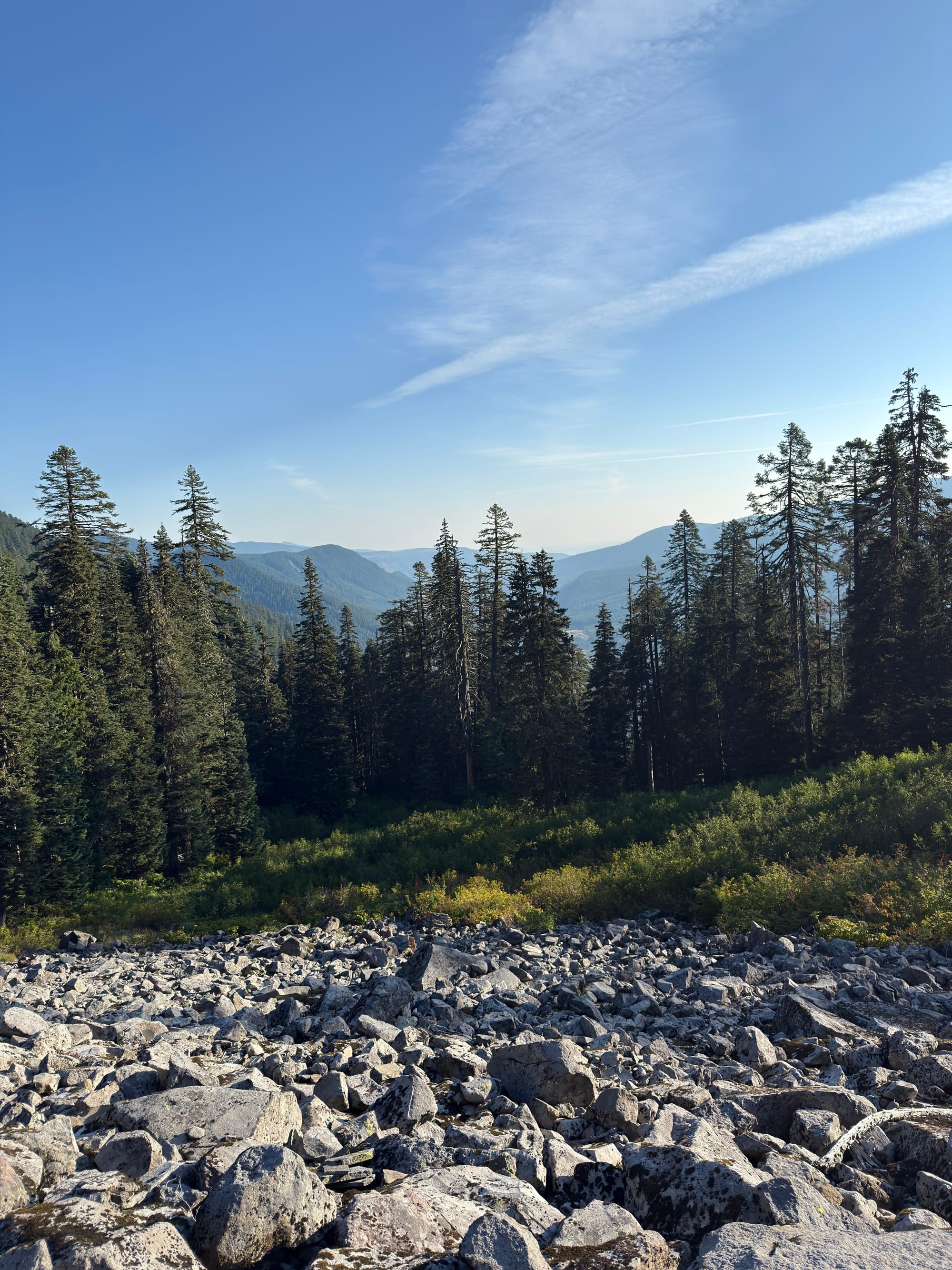
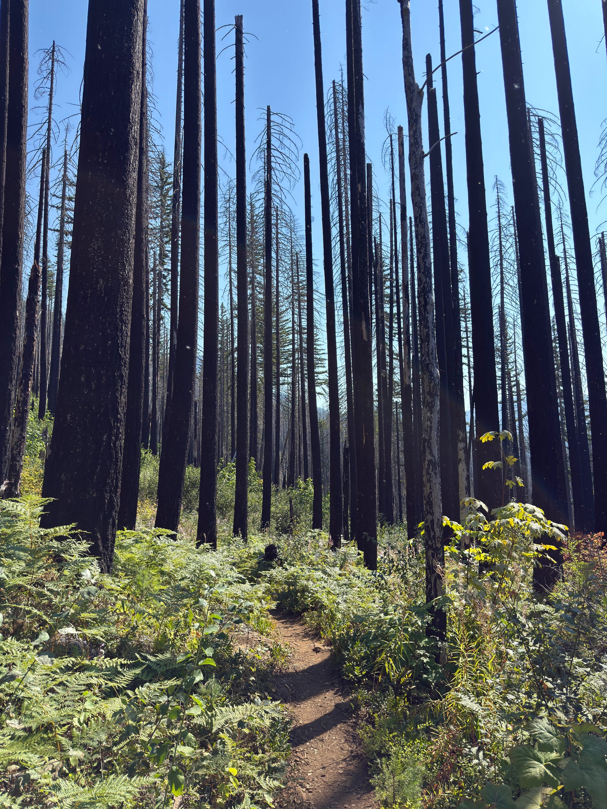
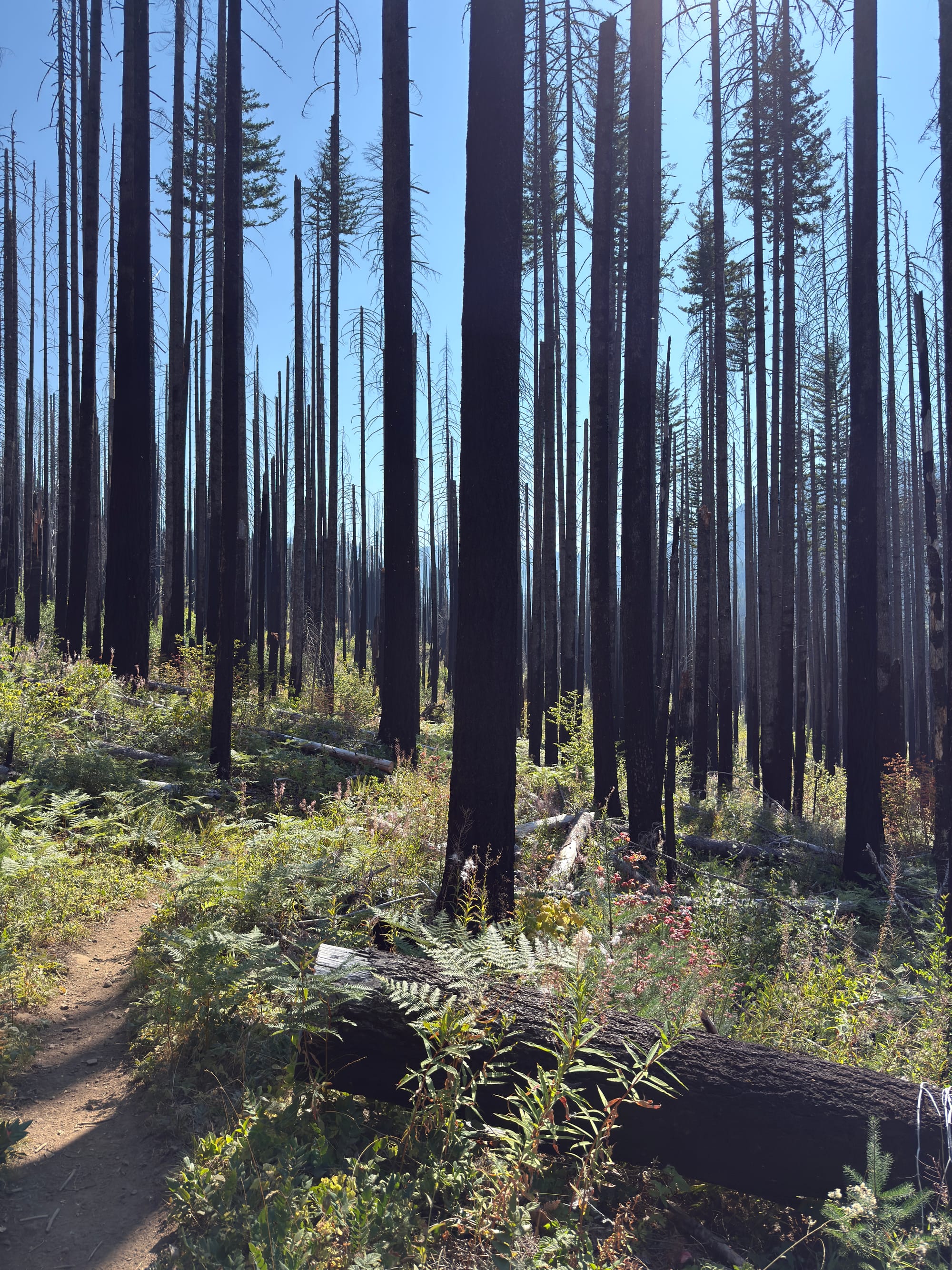
Huckleberry bushes are showing fall colors. It’s time to start thinking about wrapping this adventure up!
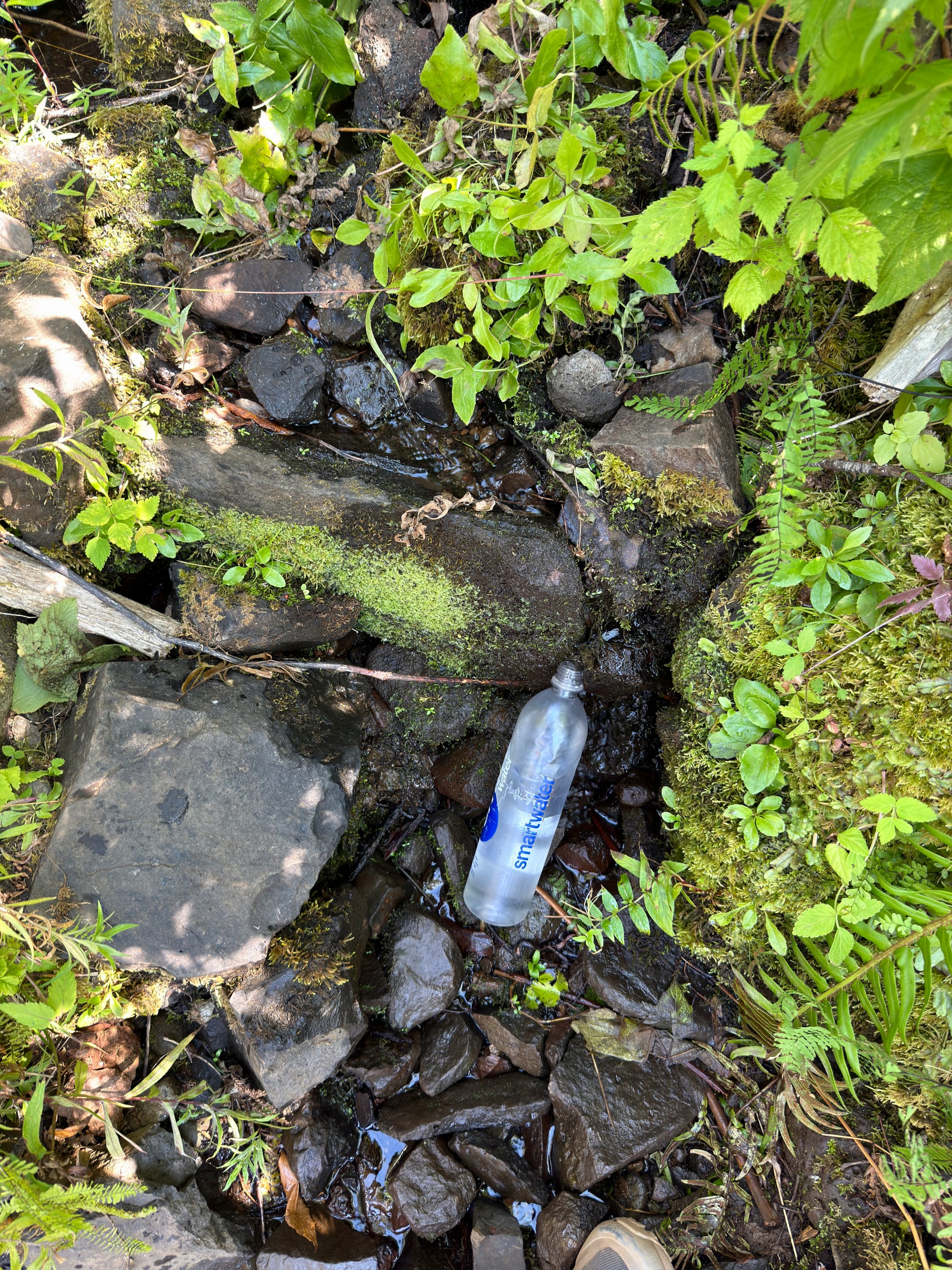
This ice cold spring was a godsend walking through an exposed burn section at low elevation and 90+ degree temperatures.
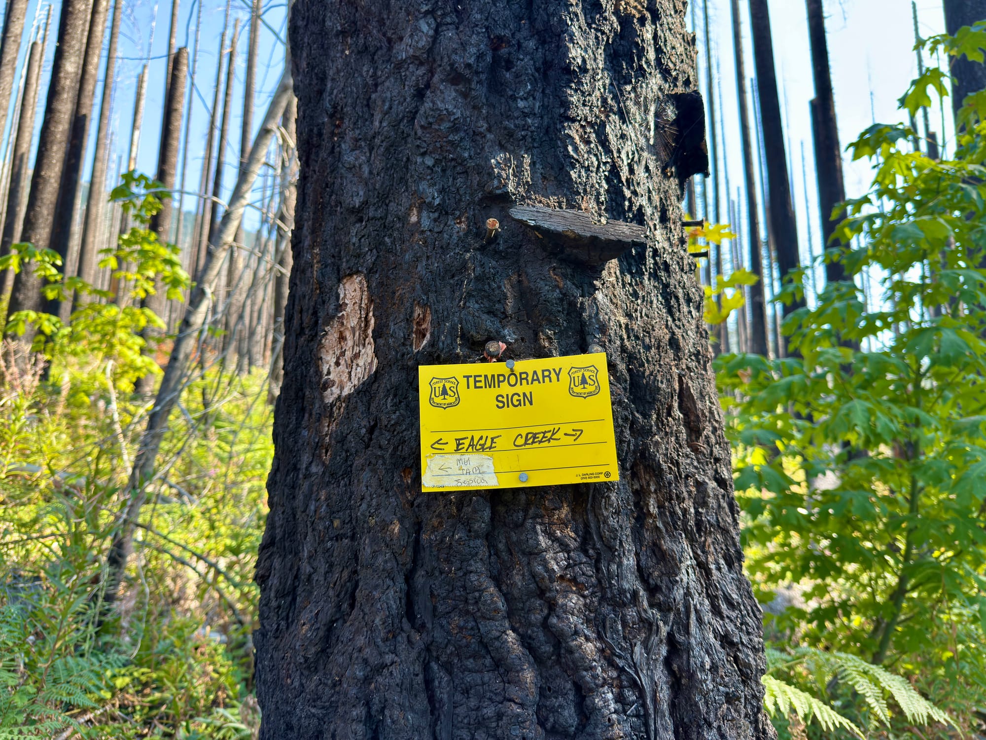
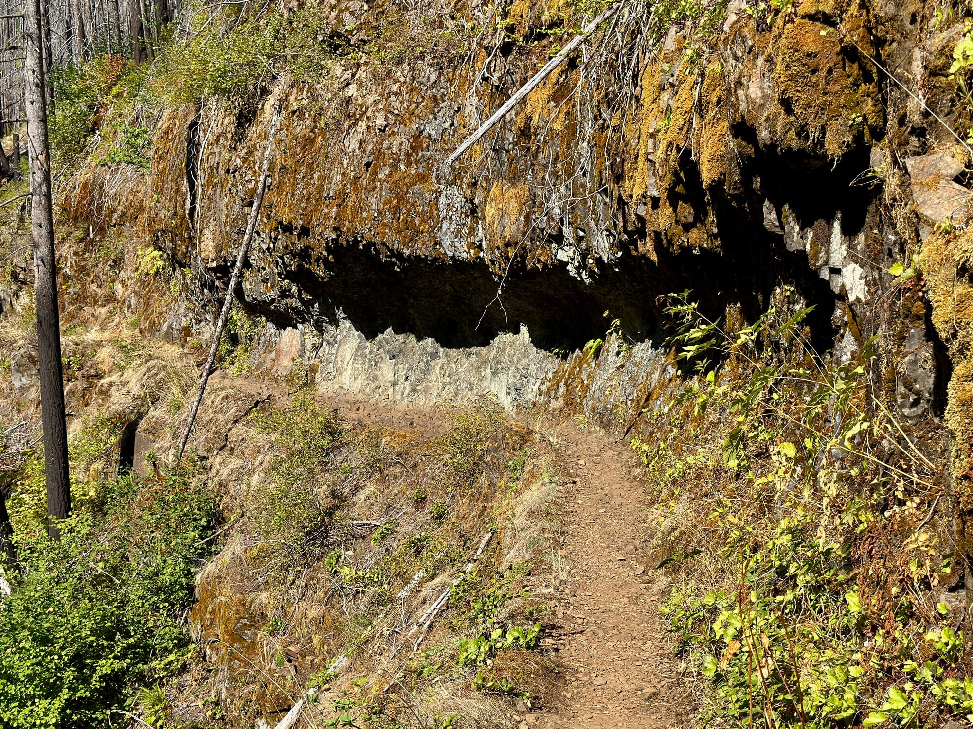
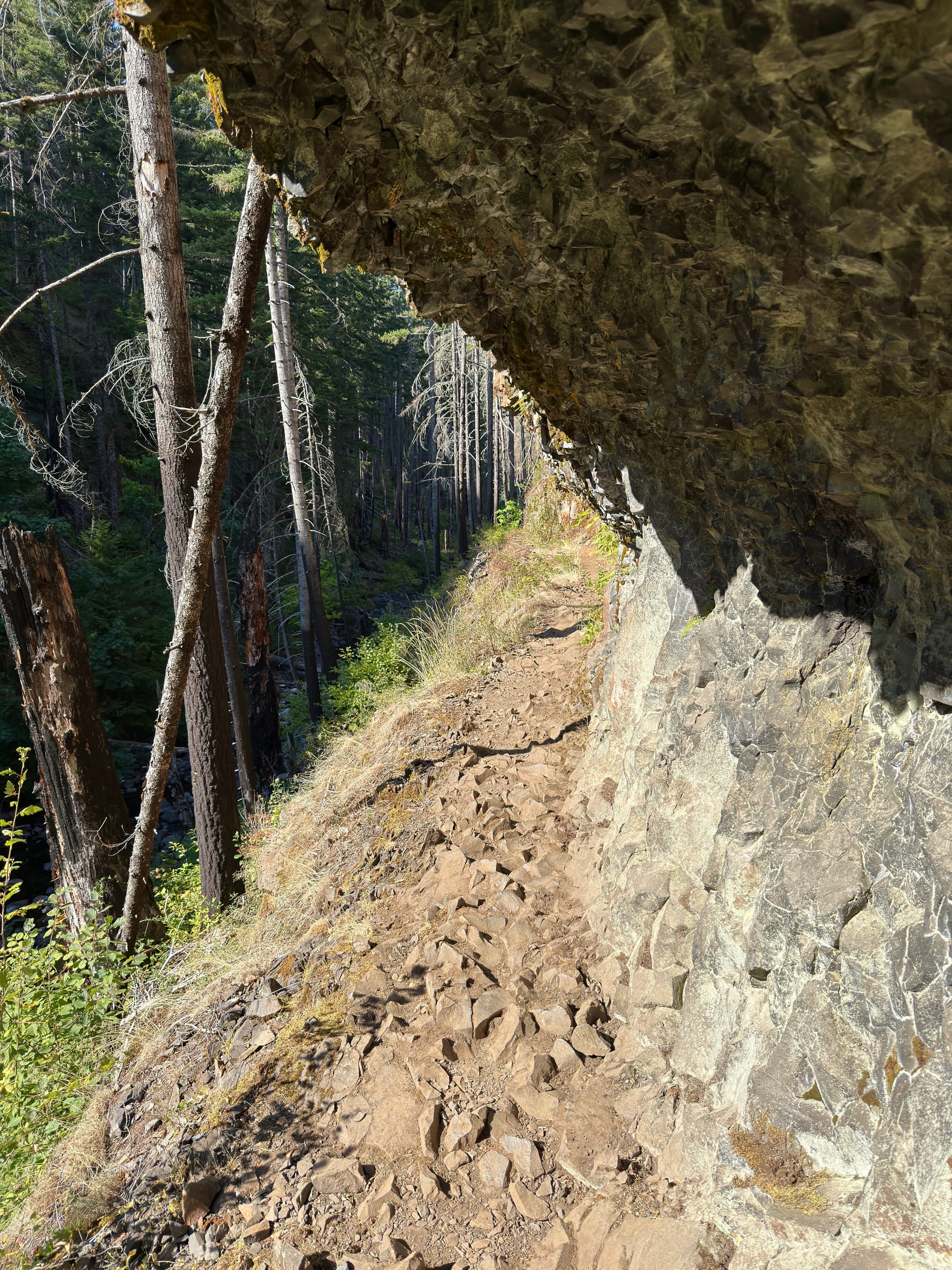
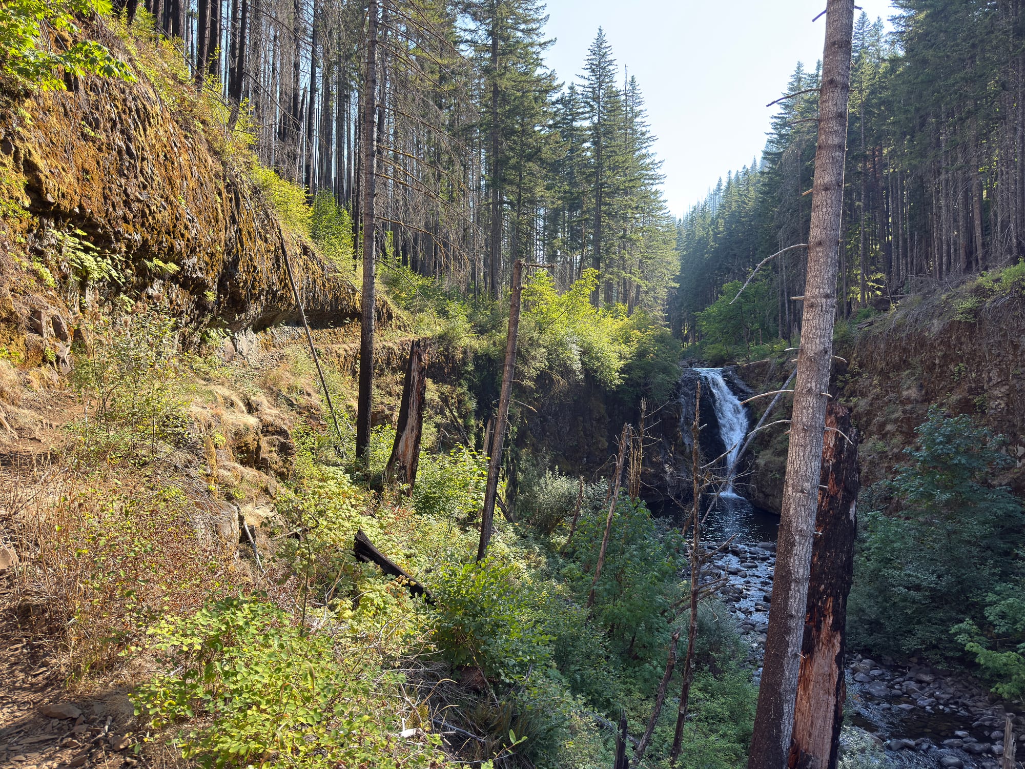
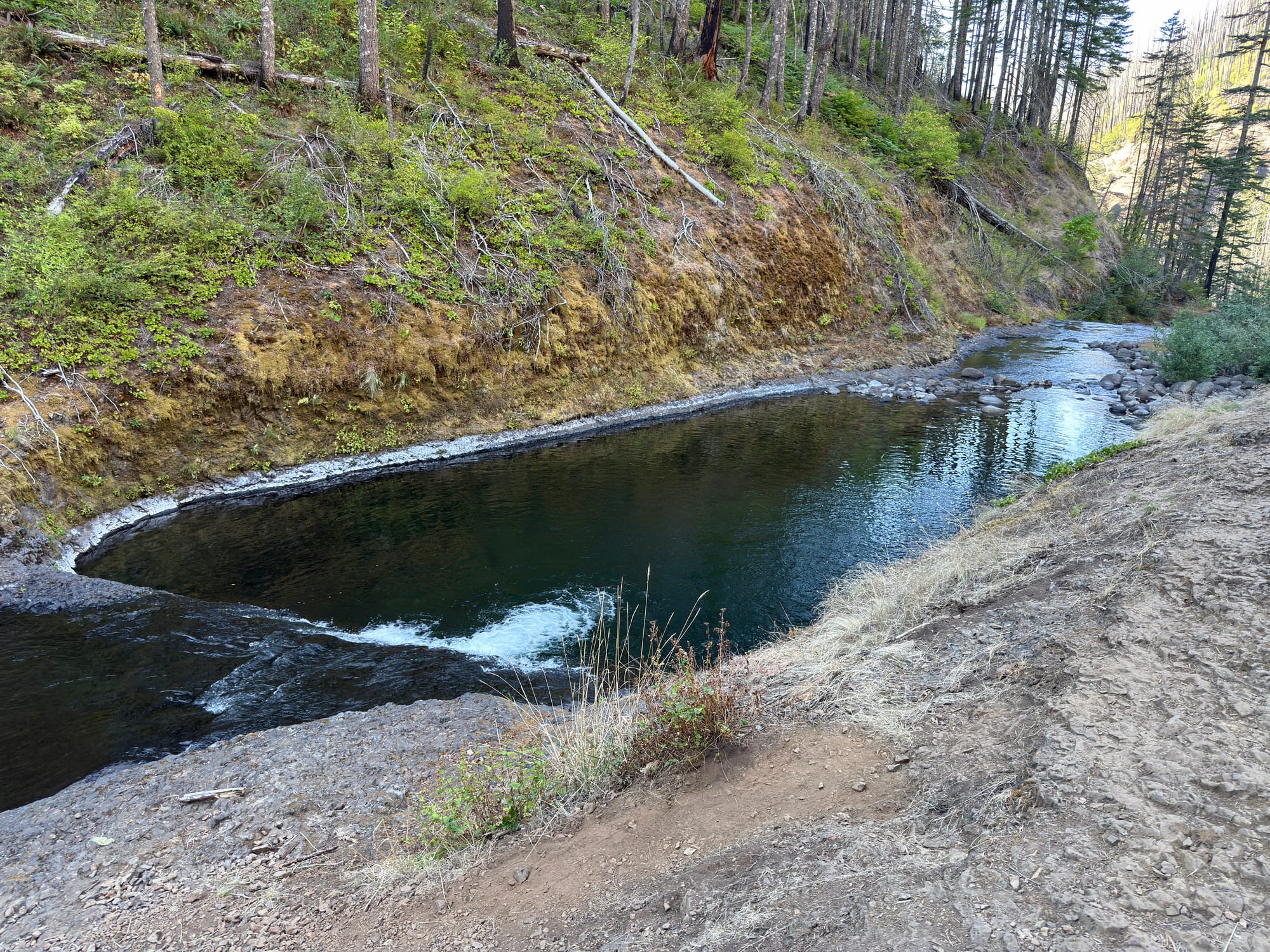
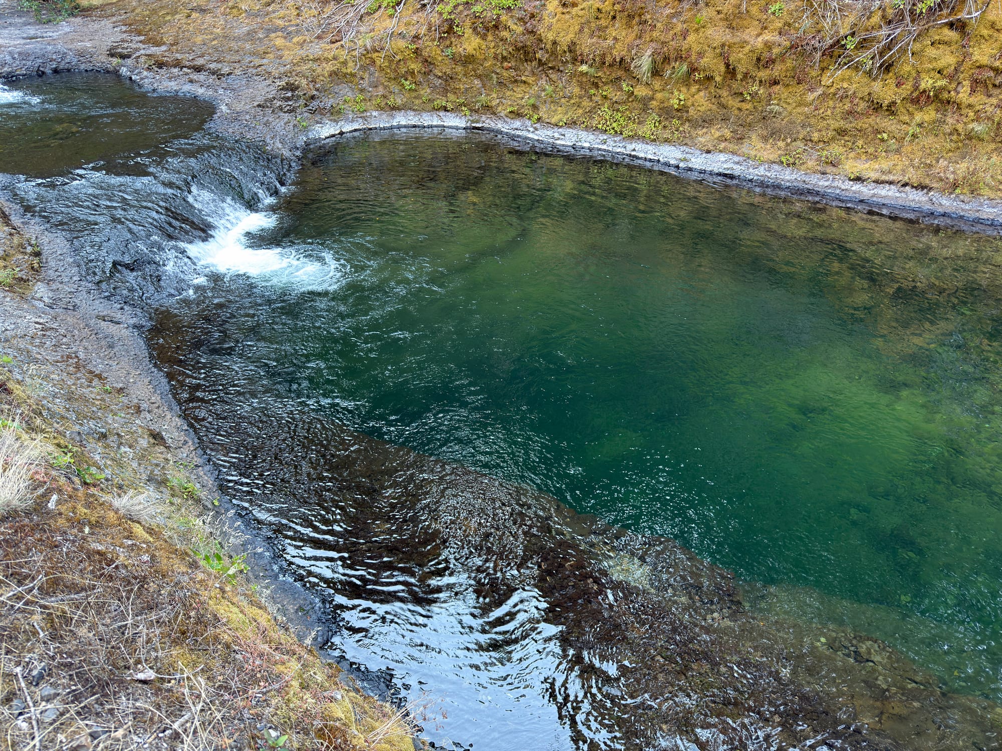
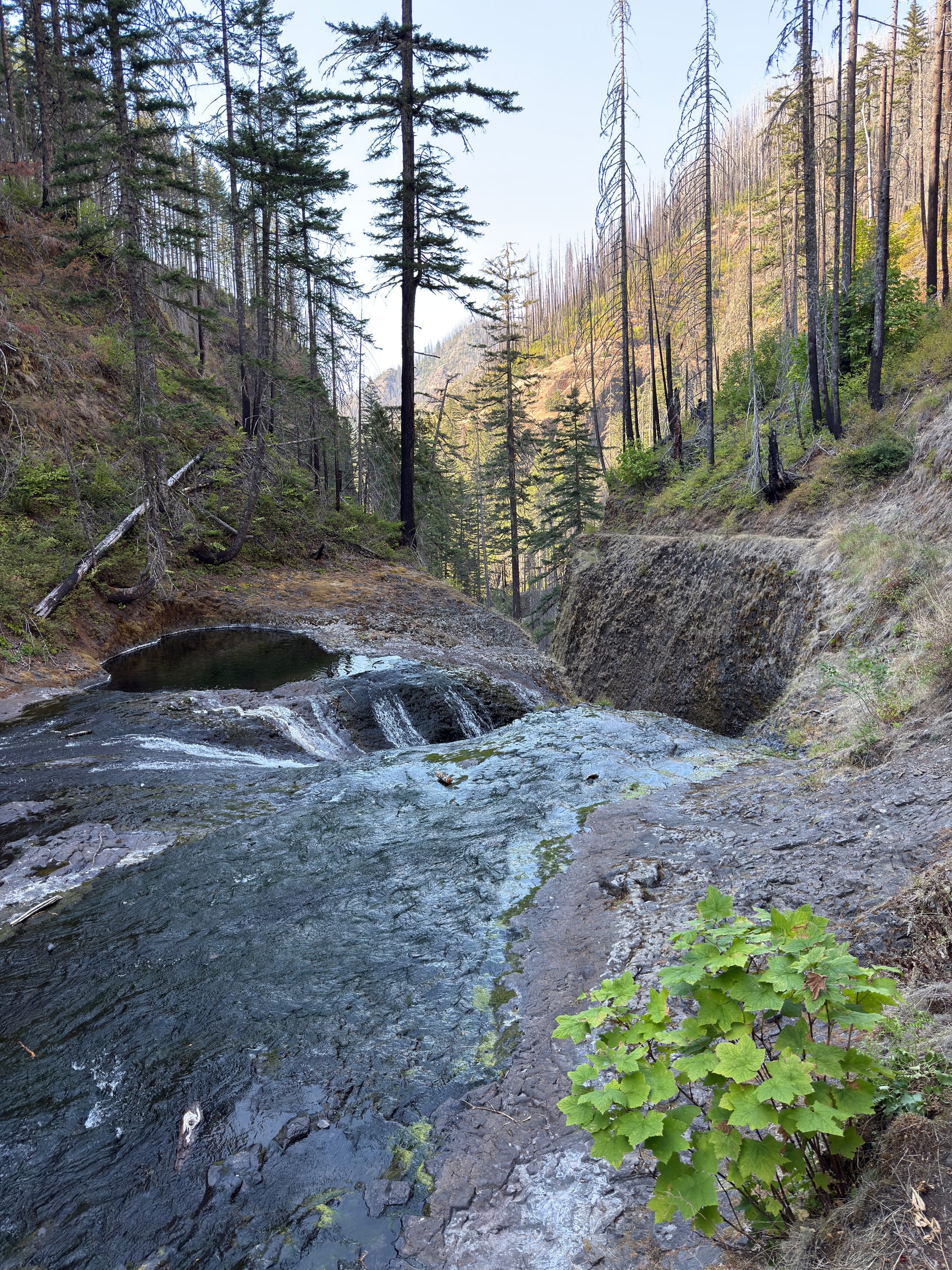
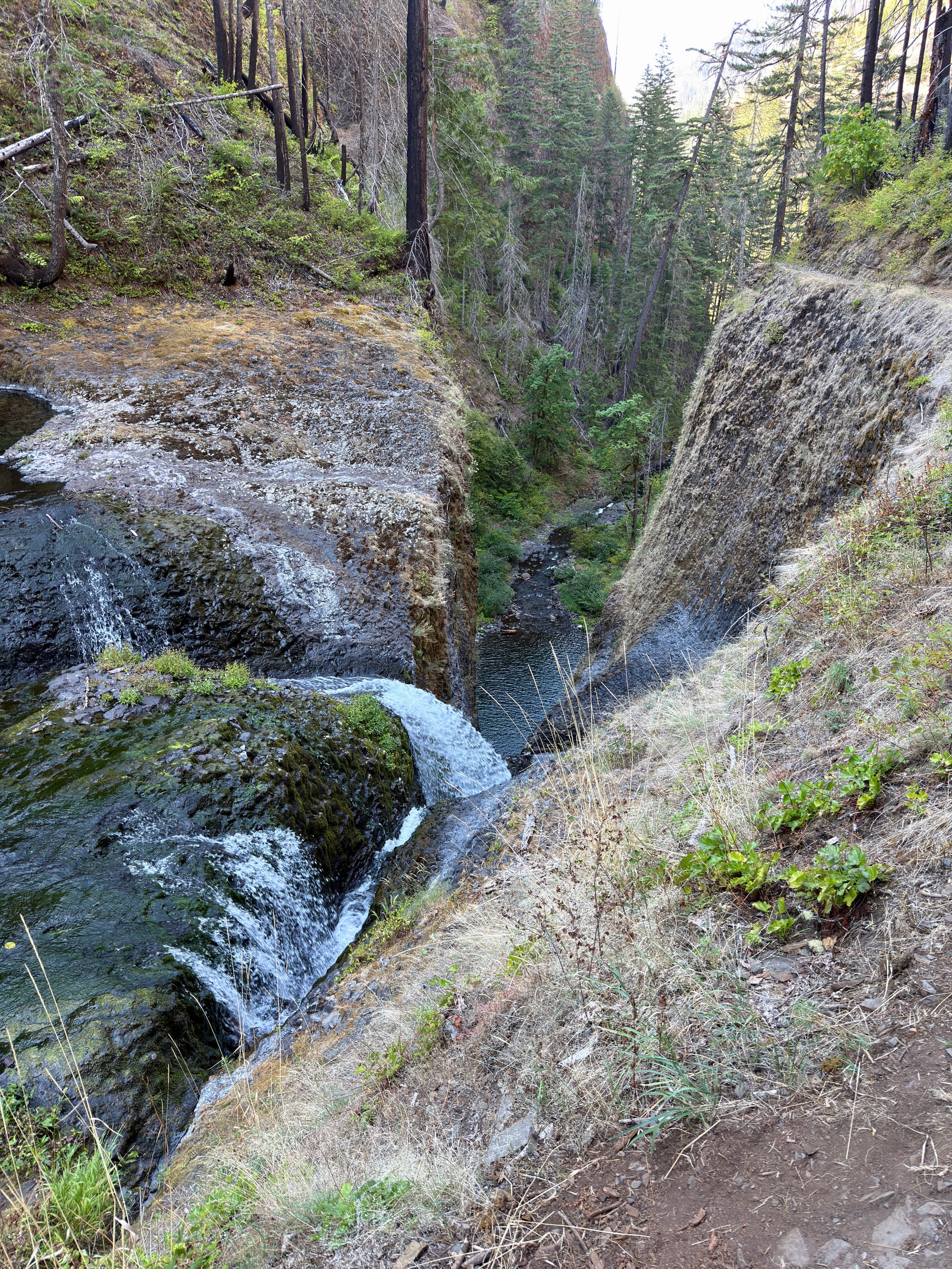
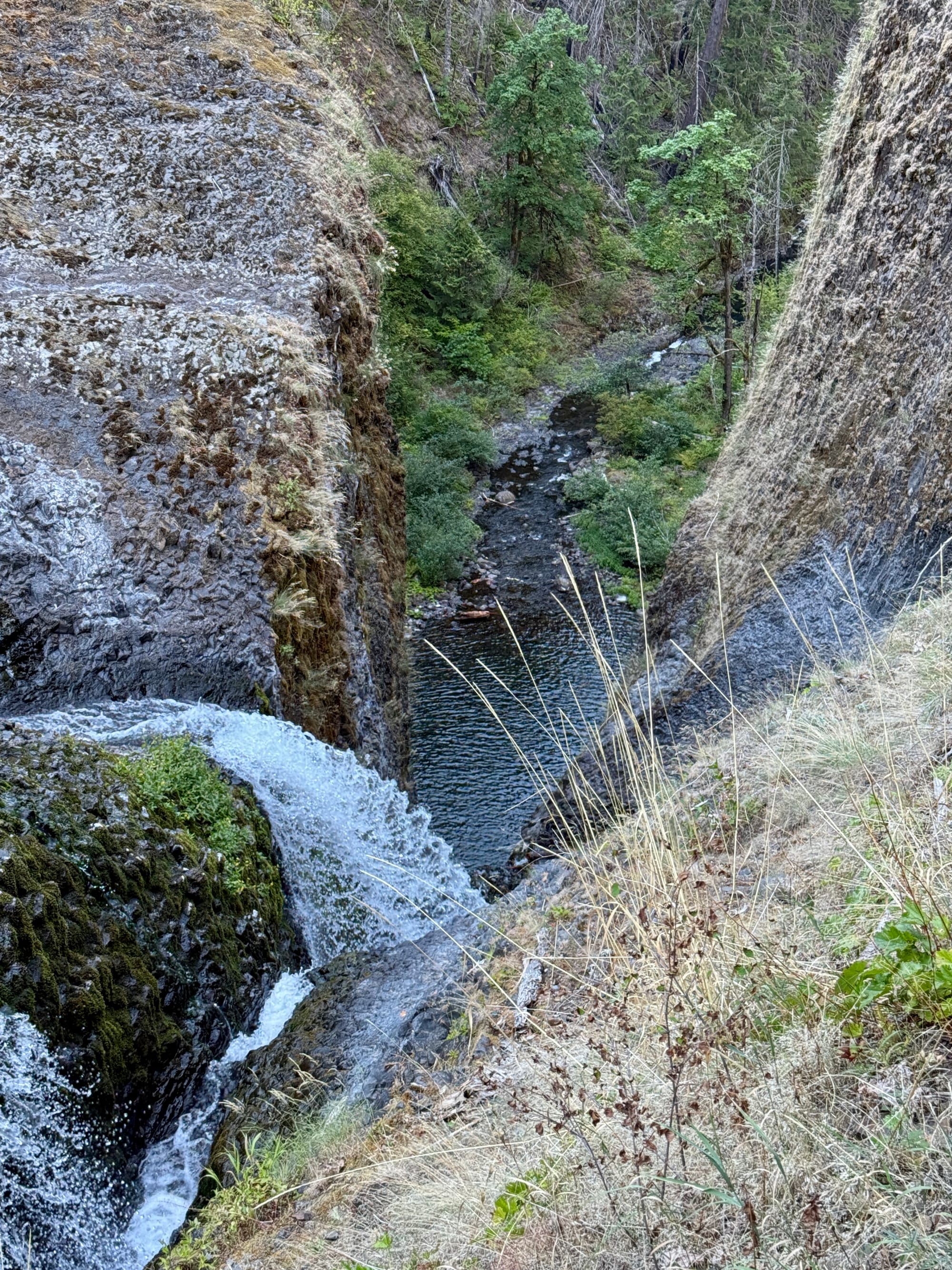
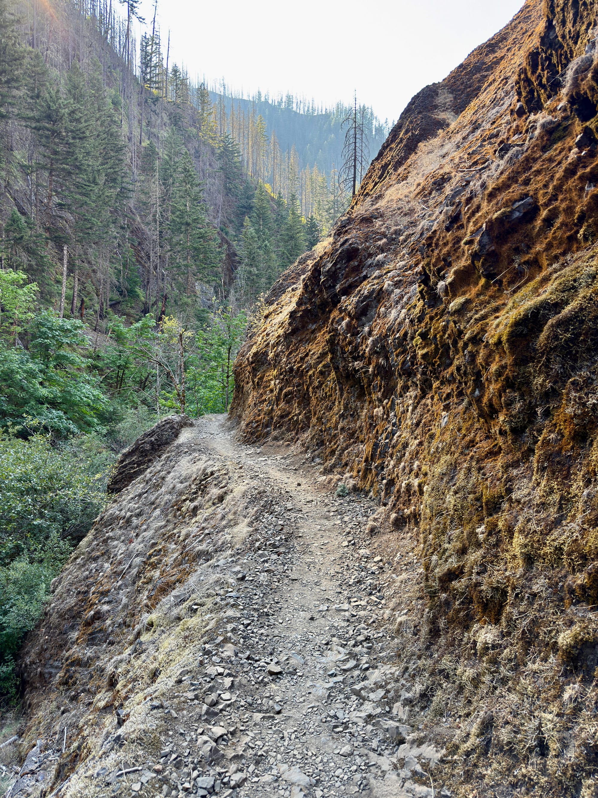
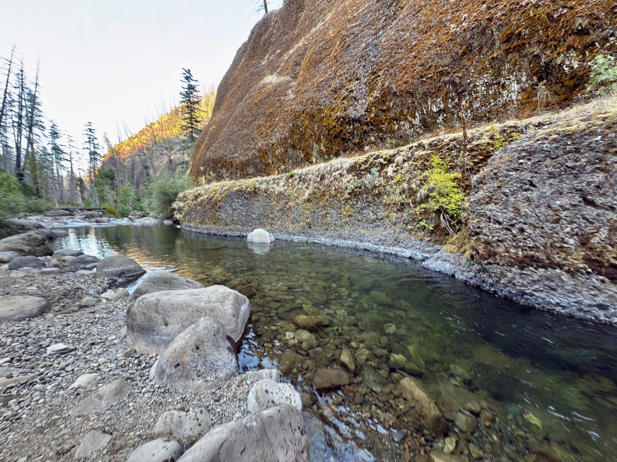
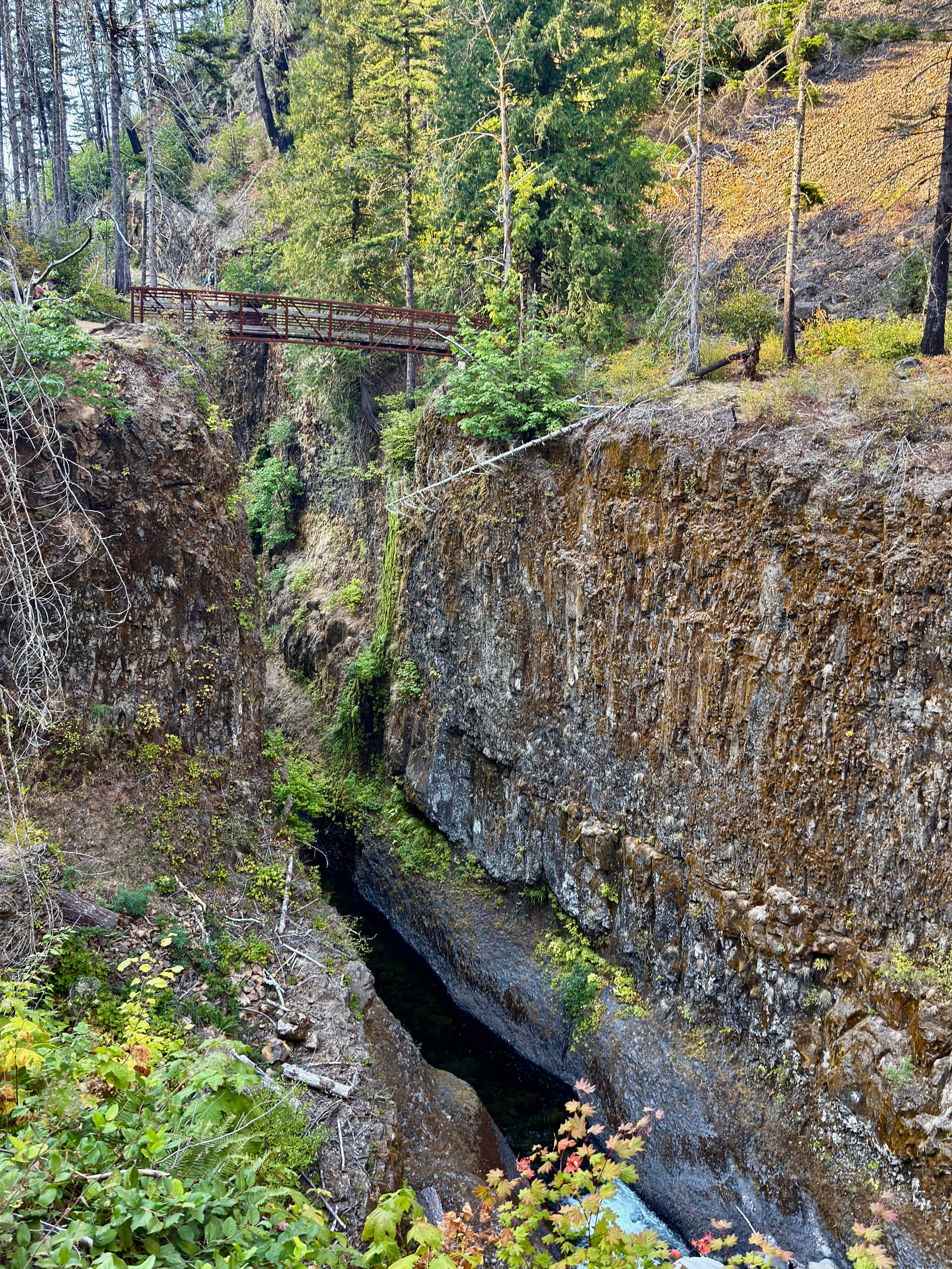
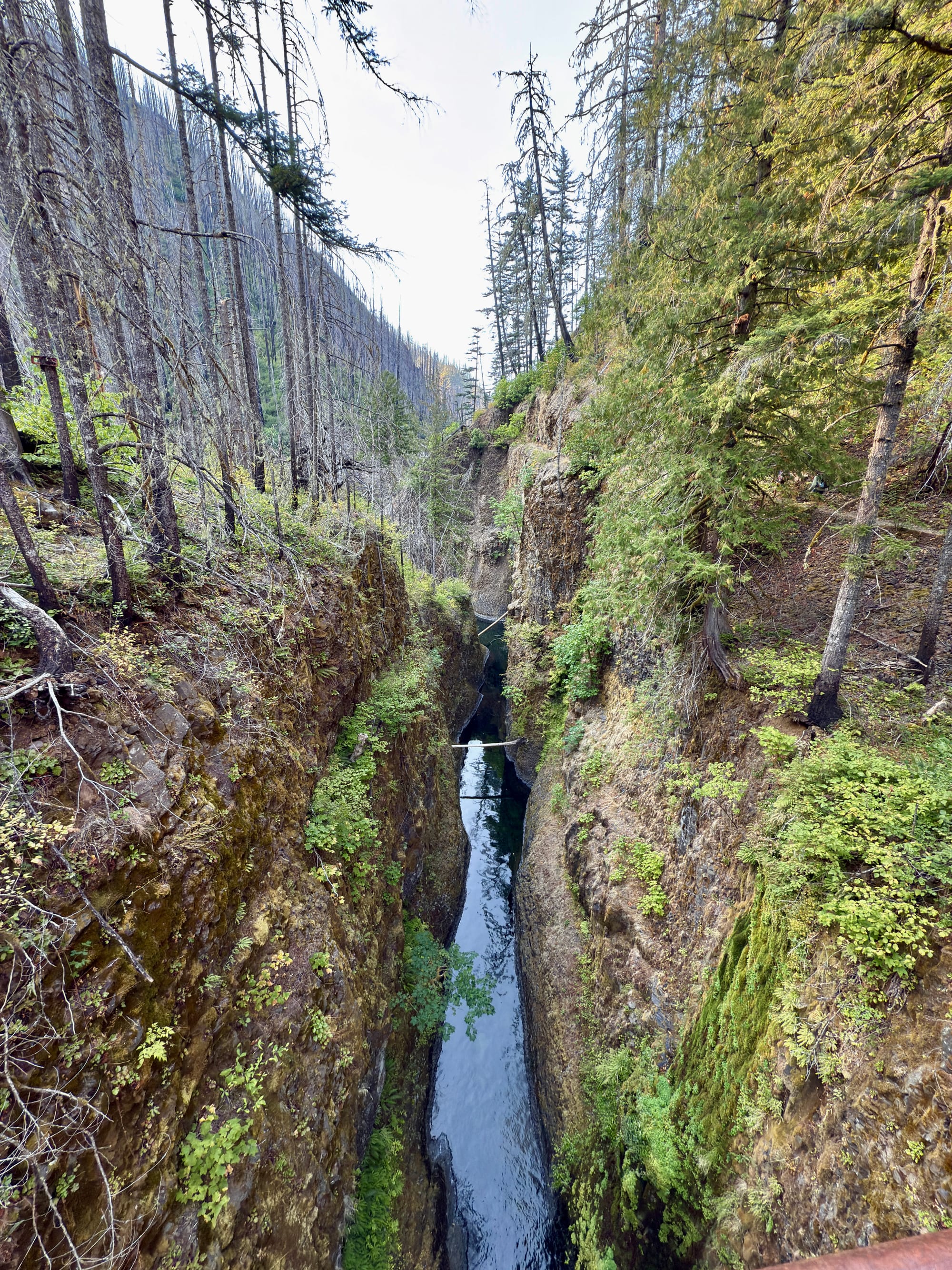
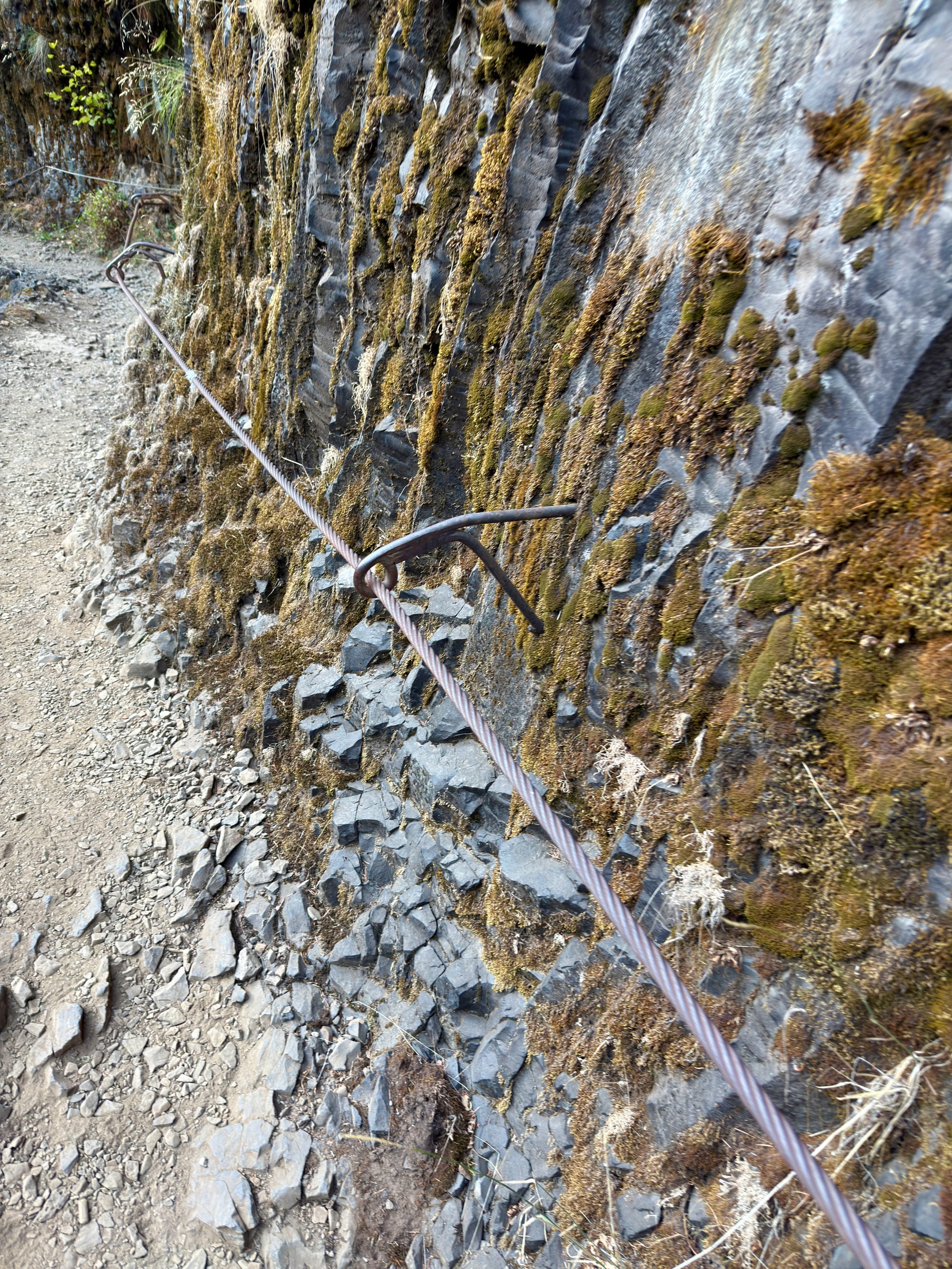
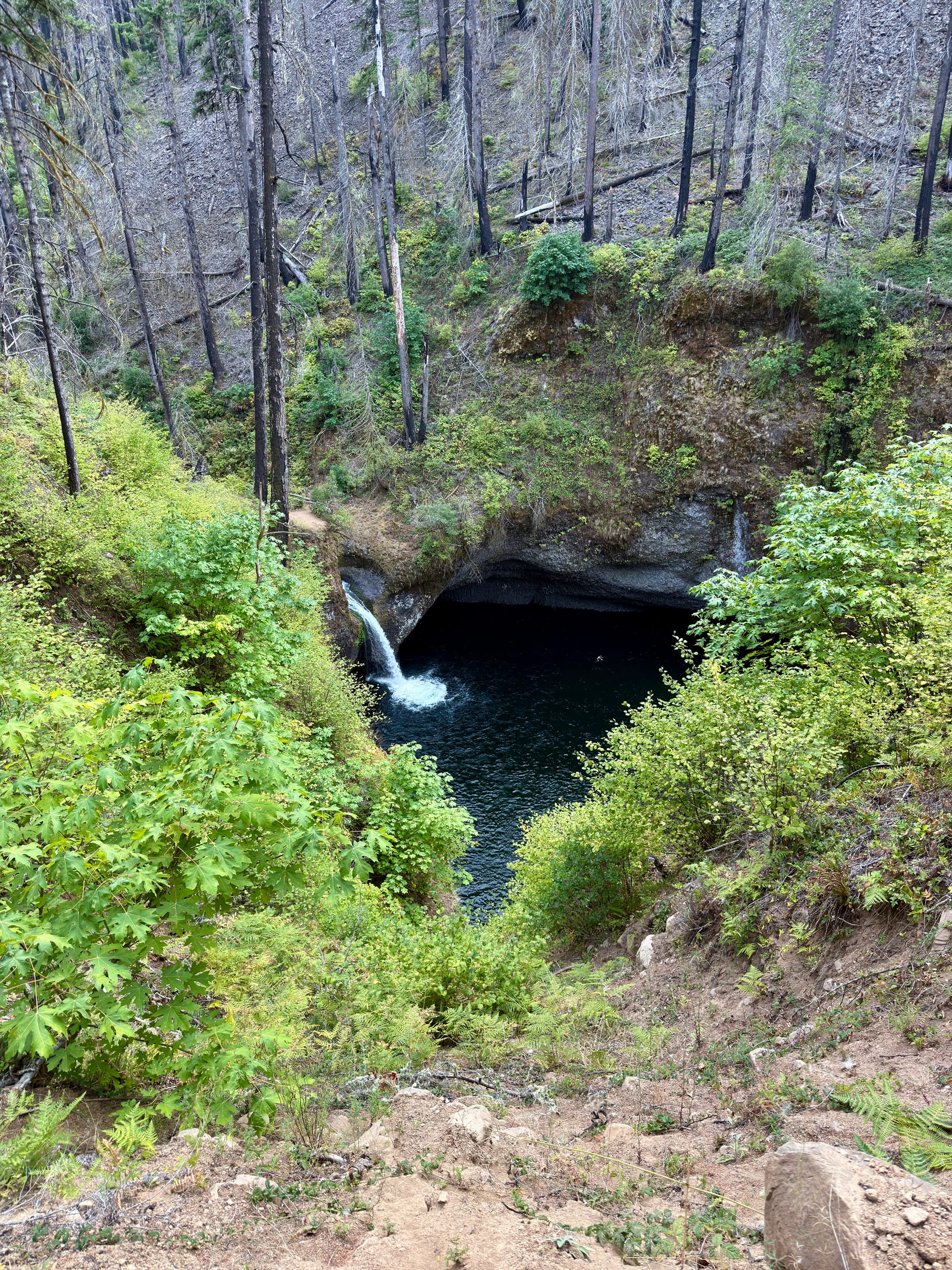
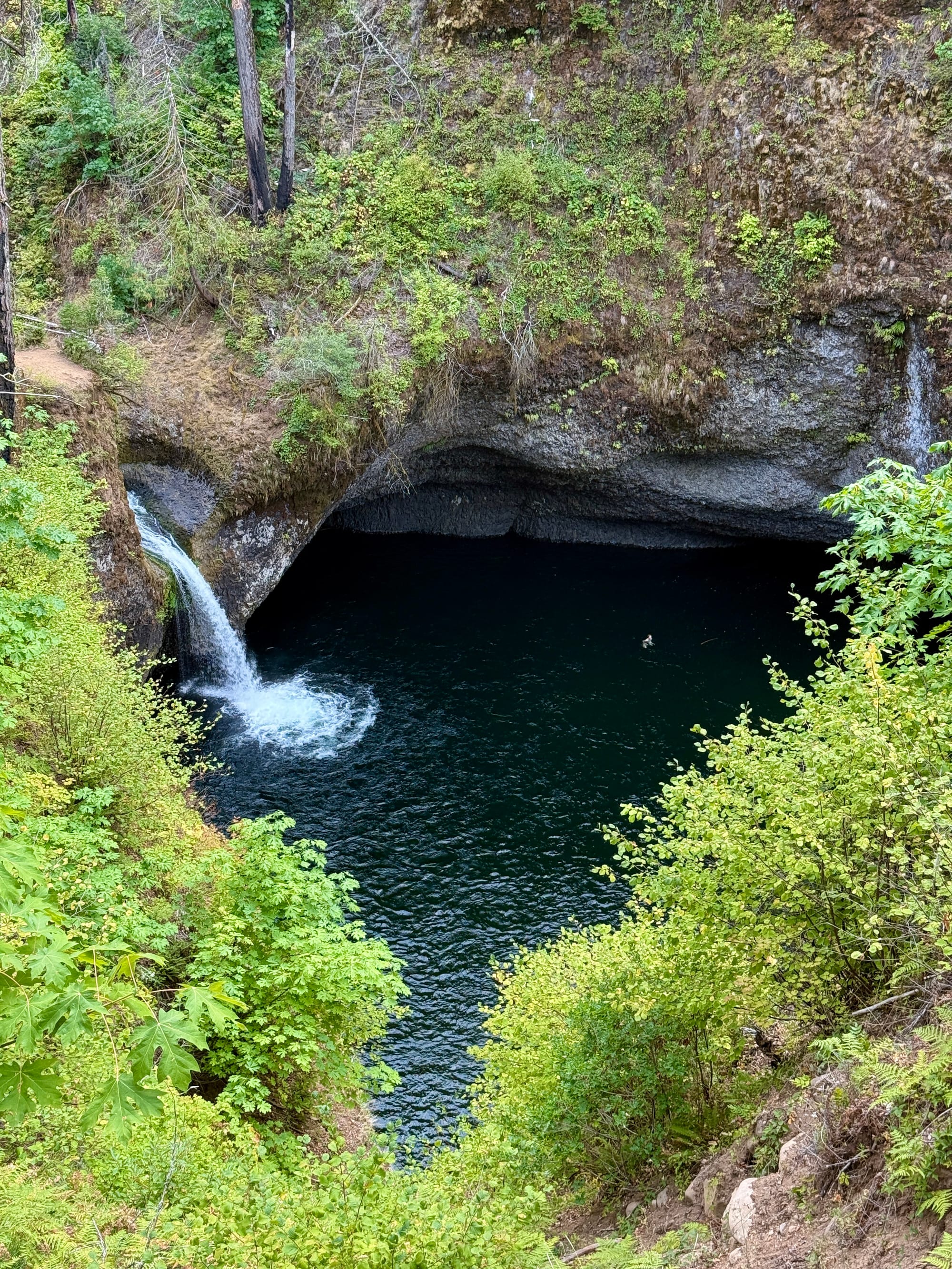
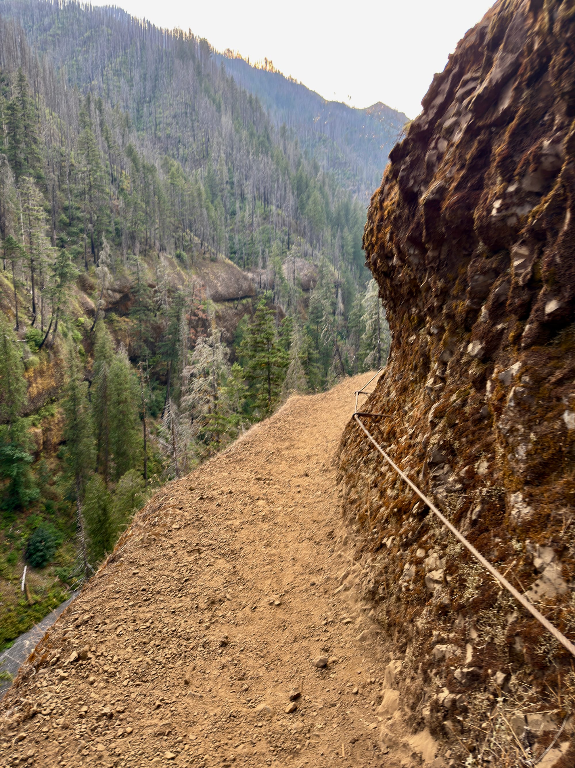
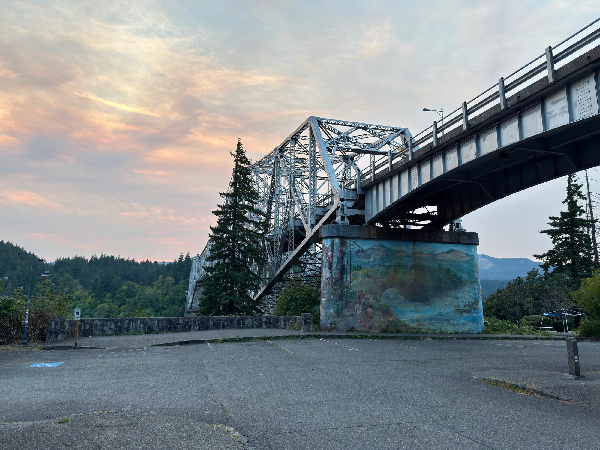
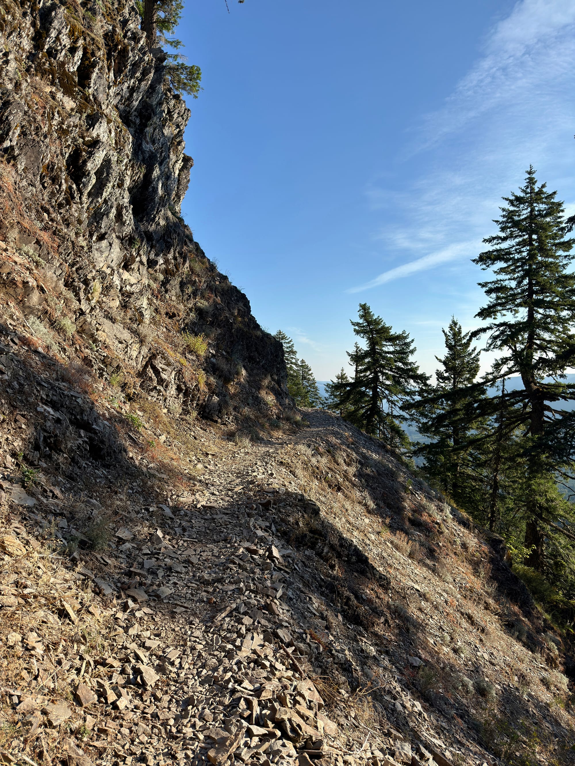
The Eagle Creek trail is actually an alternate to the PCT down to Cascade Locks. It was blasted out of basalt walls with a spectacular section of path going behind a waterfall at Tunnel Falls.
LOL. This is some spectacularly bad advice.
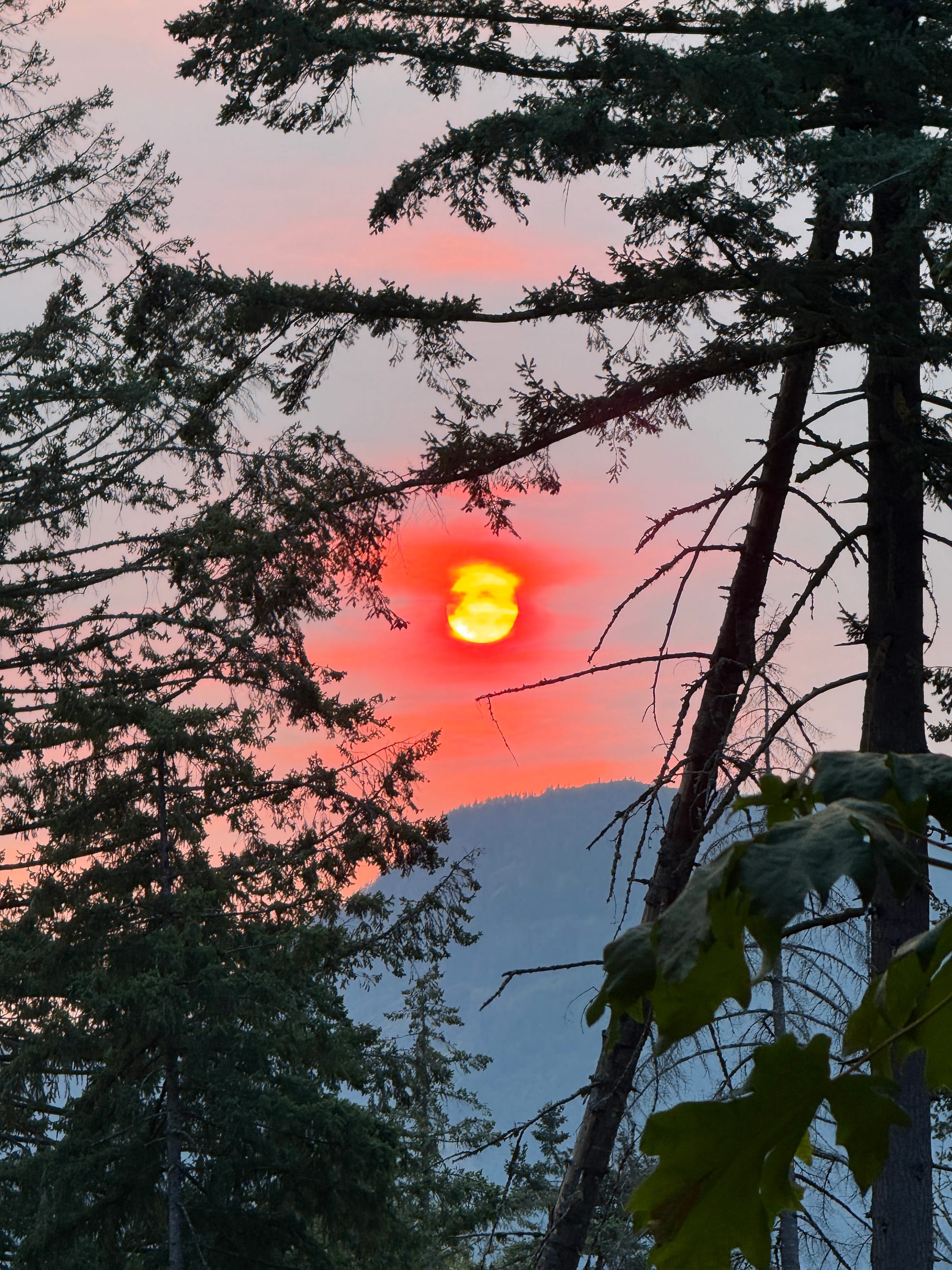
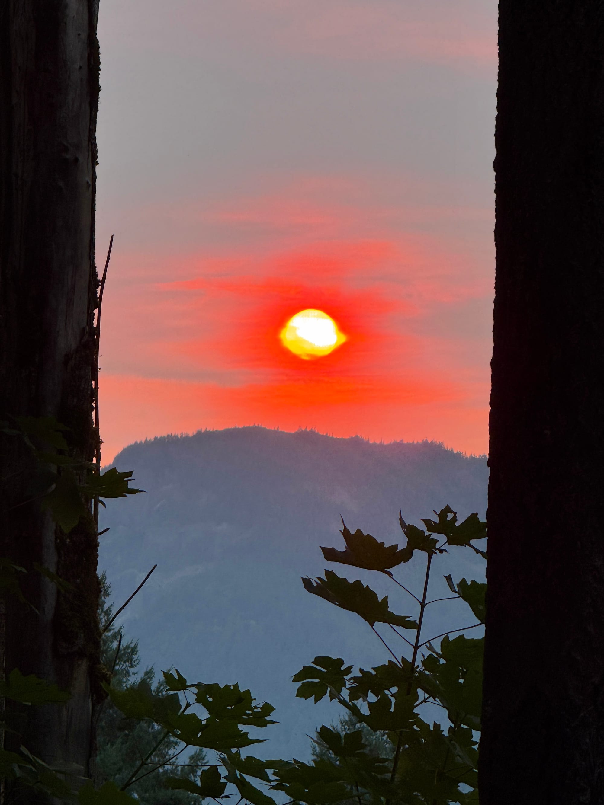
Oh fuck off, Sauron.
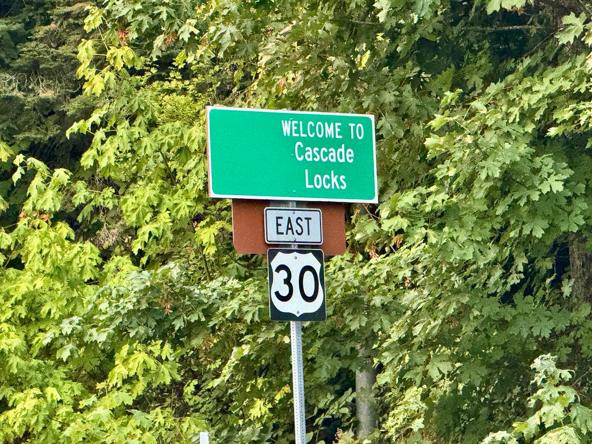
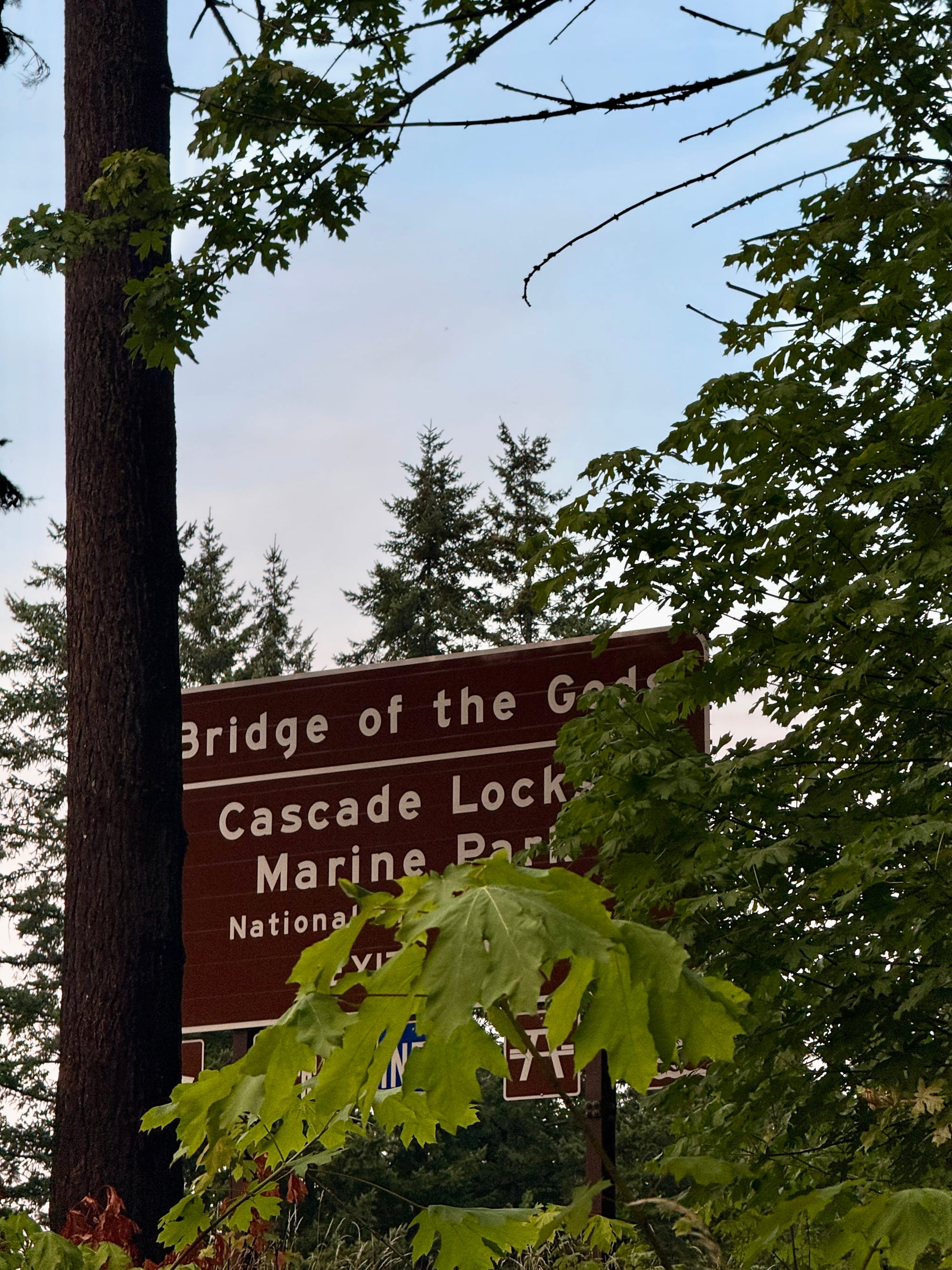
You don’t see too many right justified but somehow still centered text on signs. I‘m curious how this happened. What does highway sign-making software look like? Is it as simple as someone putting in a blank of the wrong size into the printer?
We may never know.