Pacific Crest Trail - Day 95 - Benson Pass

Start: Mile 949.5 - Glen Aulin High Sierra Camp
End: Mile 969.8 - Backcountry campsite - Smedberg Lake
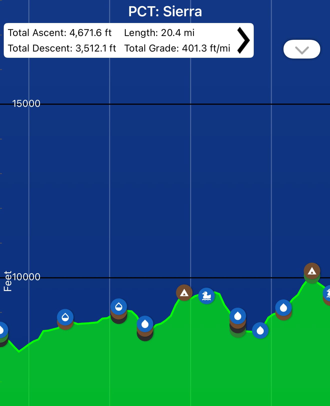
An elevation profile for the day. 20+ miles with ~4,700 feet of elevation gain with the longest climb of the day near the very end. It looks like some peloton busting Tour de France stage.
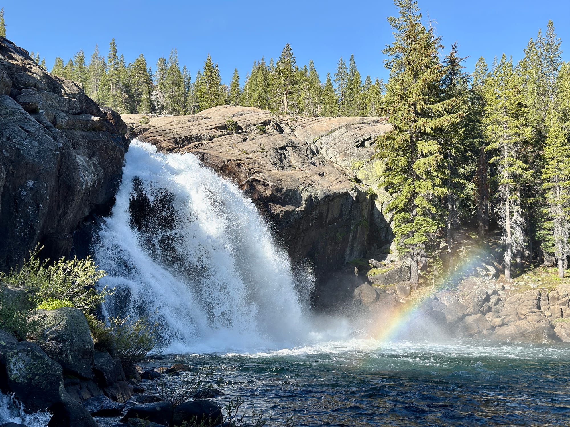
It started on a high note with a rainbow 🌈 in the mist of a raging waterfall.
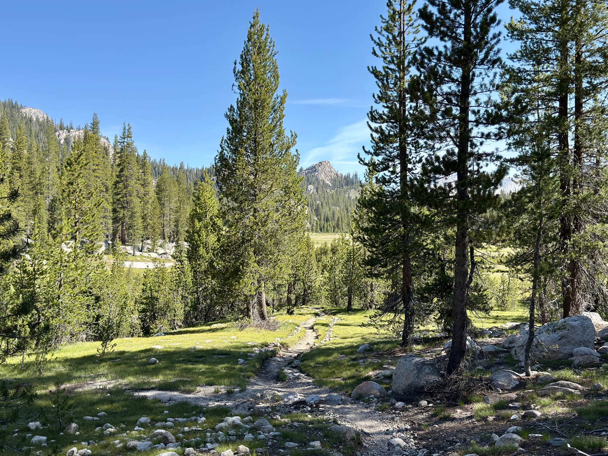
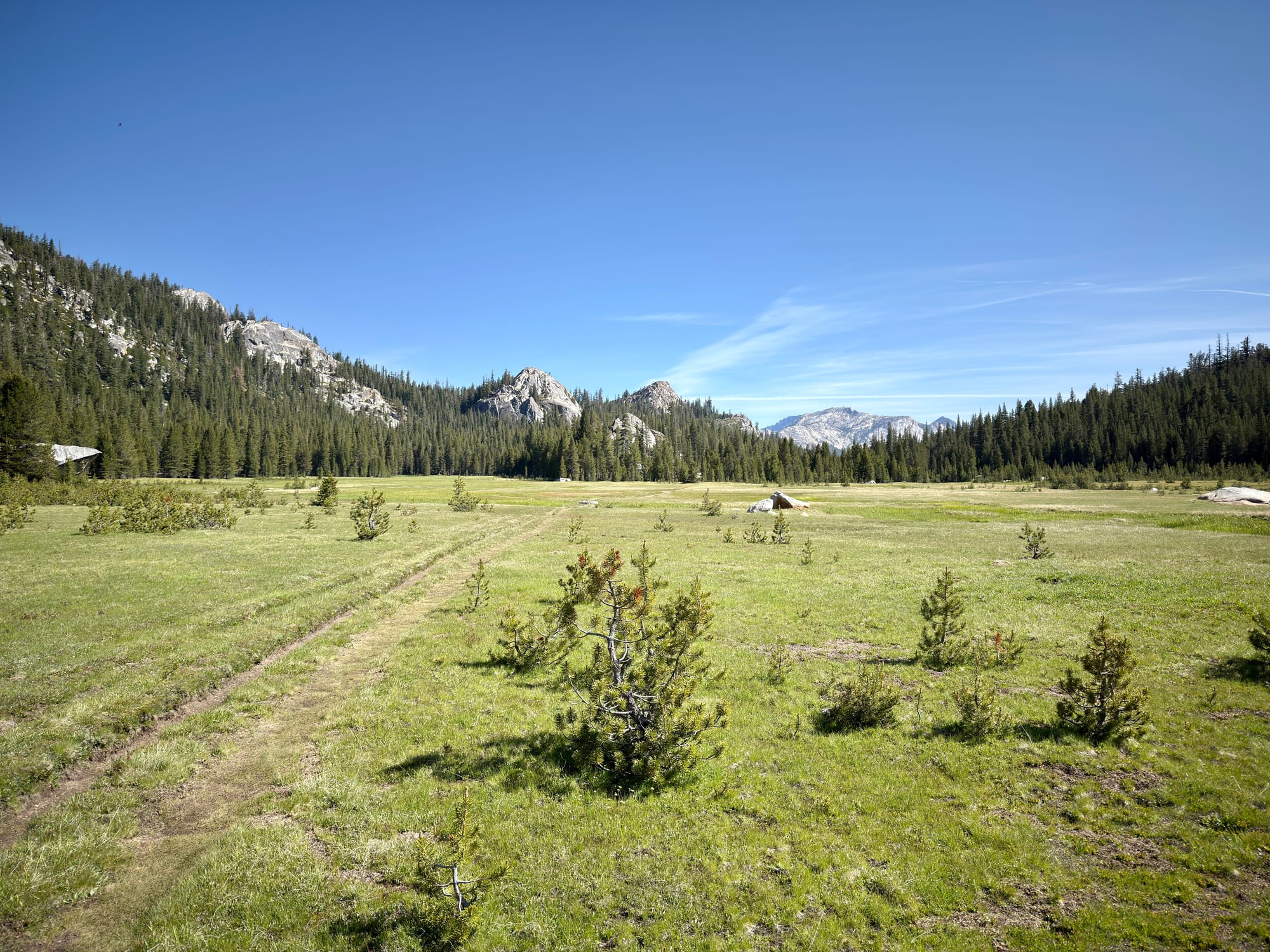
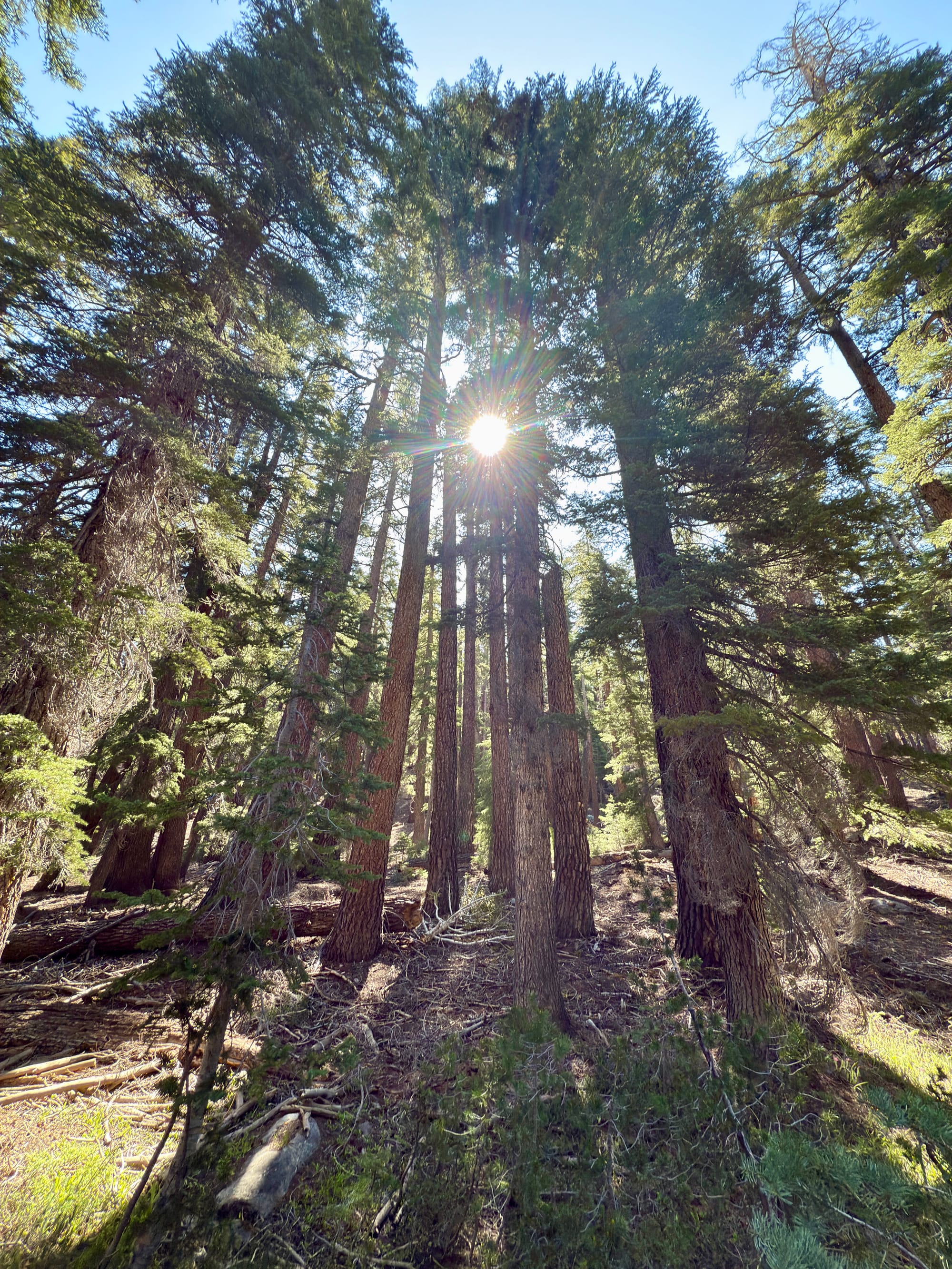
Miles and miles of Yosemite high country meadows. These were the easiest miles we’ve had on trail so far with a gradual climb along a creek.
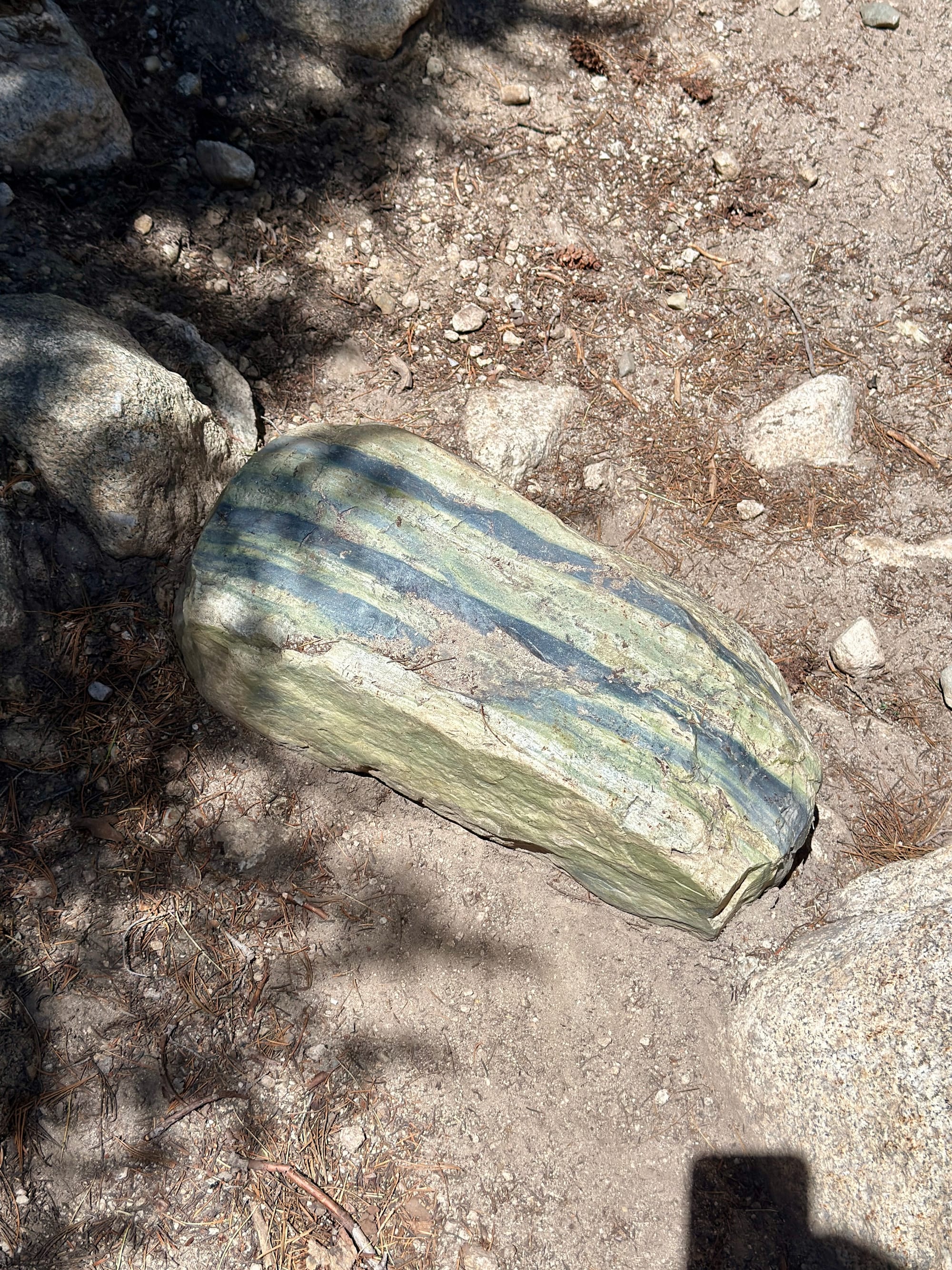
There were many of these green and blue striped rocks on one of the early climbs. I‘m pretty sure I had this shirt in middle school.
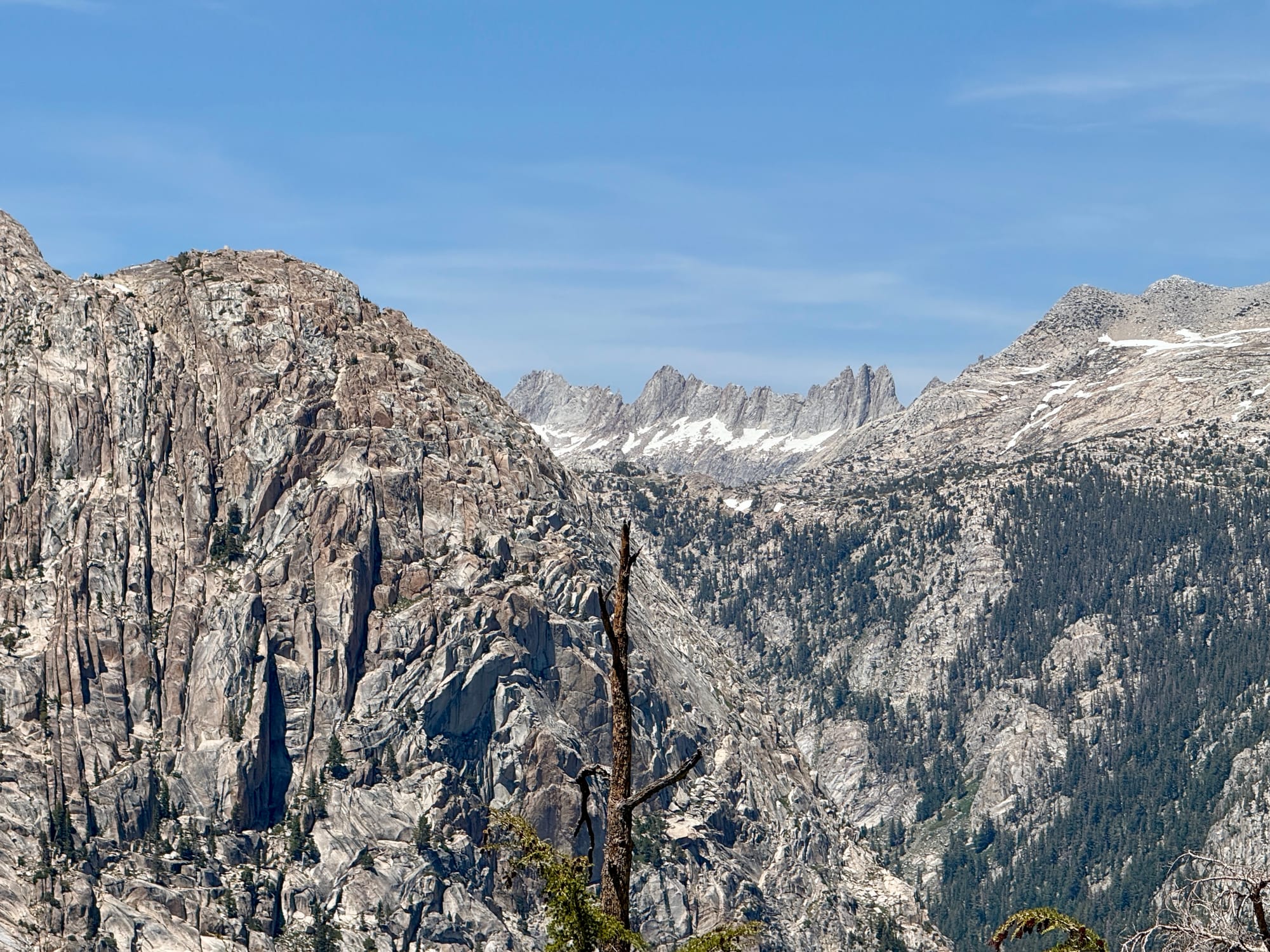
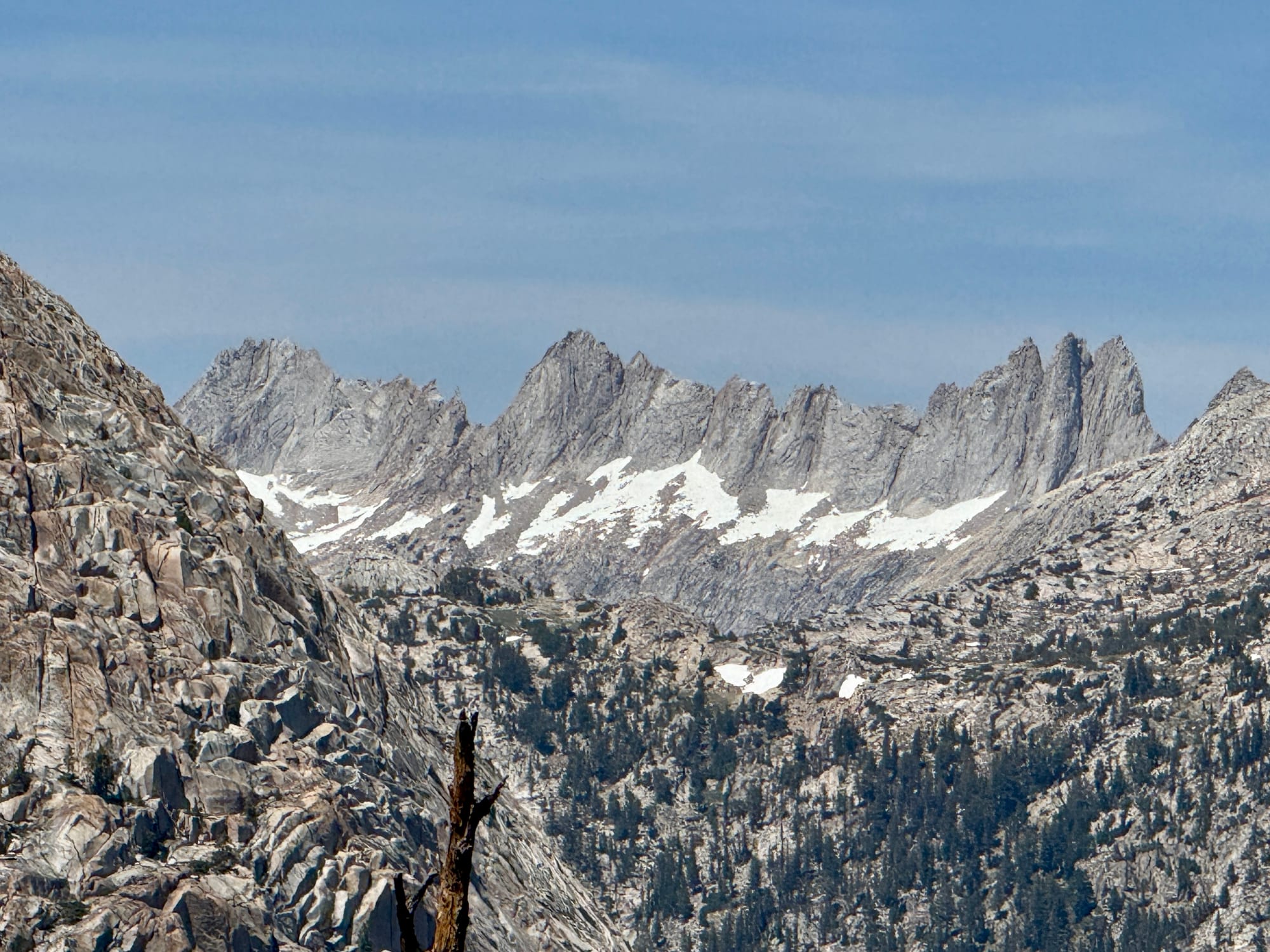
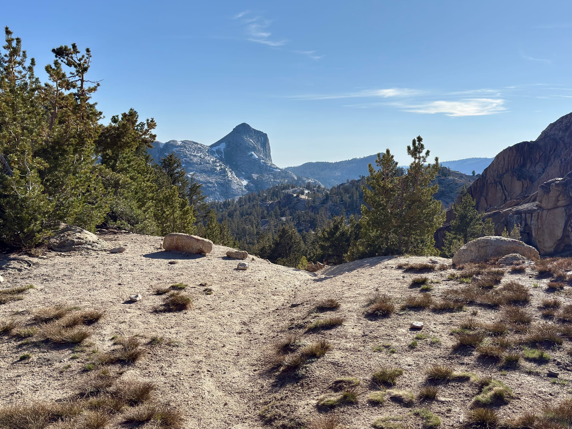
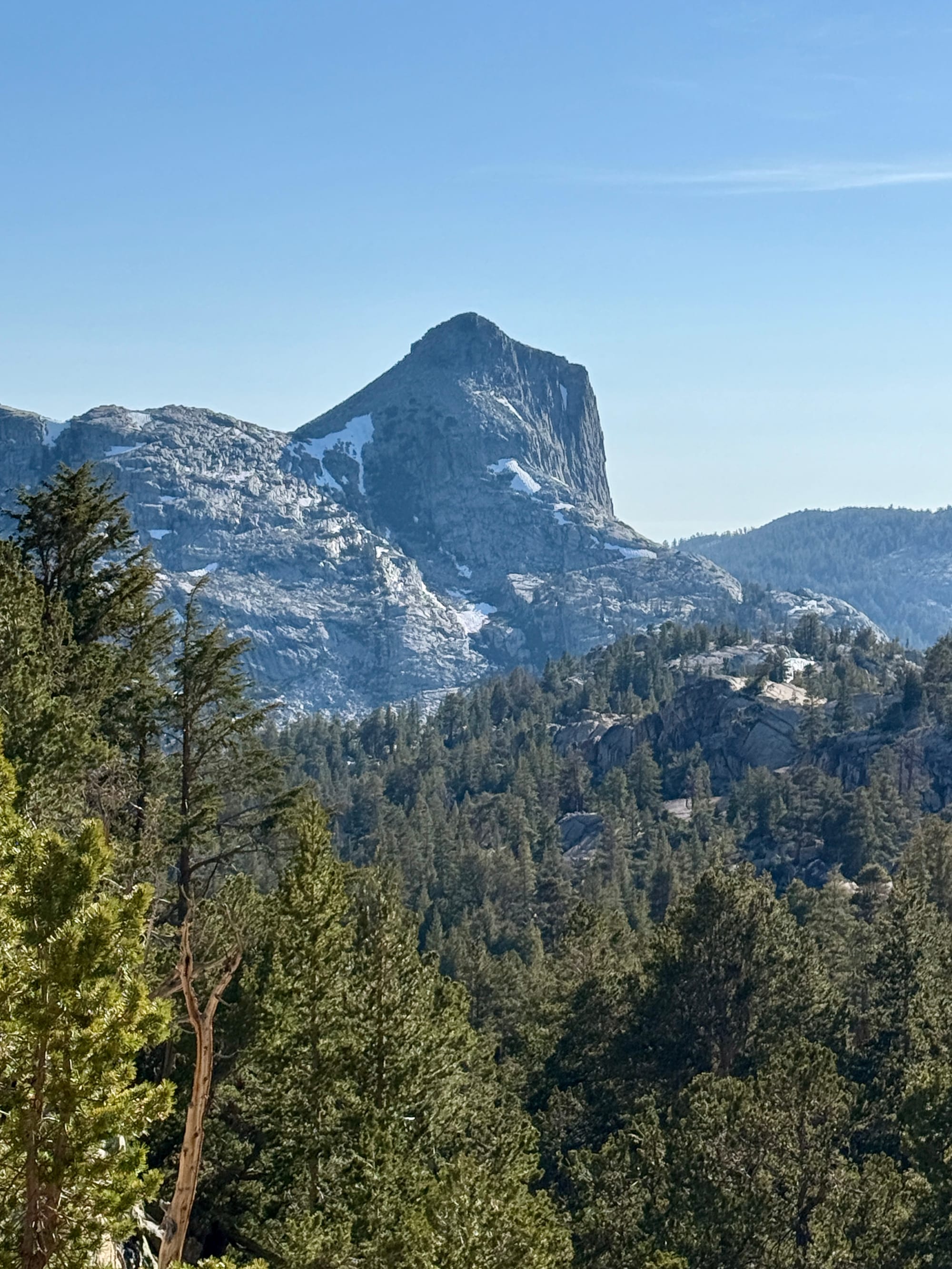
Yep, still in the Sierra.
In one of the funniest interactions I’ve had on trail, I asked a guy sweating up a steep climb we were heading down whether he was doing the PCT southbound. He told me that he set out to do the Benson Lakes loop, but “got fucked by a pass” and wound up changing plans to an out and back route. I asked him which pass thwarted his efforts and in a frustrated huff, he said, “she knows” referring to his wife who had just come around the corner. His wife told us that they made it over Burro Pass and turned around after seeing that Mule Pass involved traversing deep sun cupped snow fields.
So it turns out they got double donkey pass fucked. Bummer.
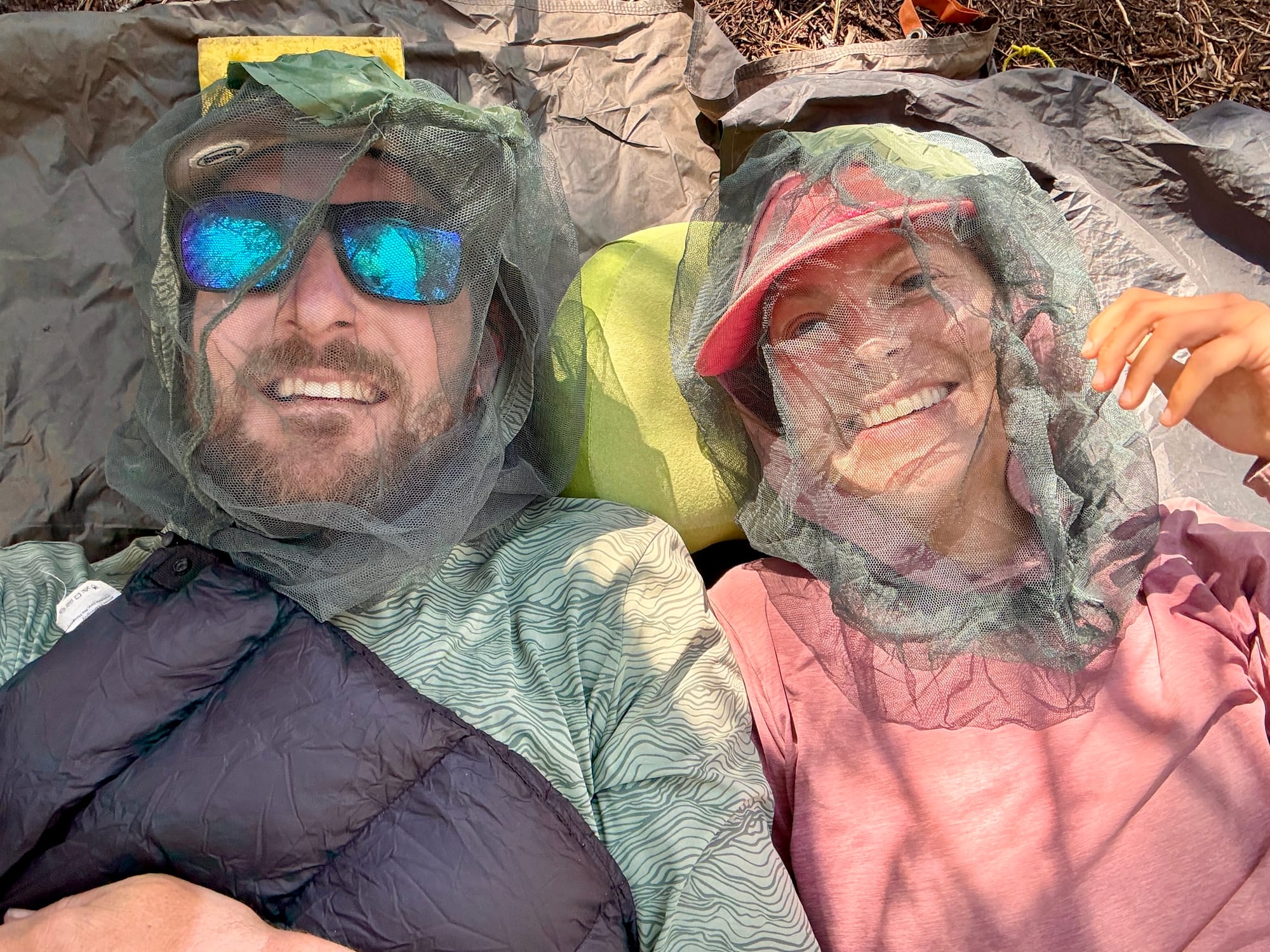
Mosquitos were out in full force. We’ve settled on a routine where we find a place to nap in the early-mid afternoon before taking on the later part of the day. These headnets were crucial to getting any rest.
The top of Benson Pass.
I took way fewer pictures than usual on this day. I think it’s hard to be impressed after the view from Cloud’s Rest, but nevertheless this is easily some of the most beautiful scenery in the world.